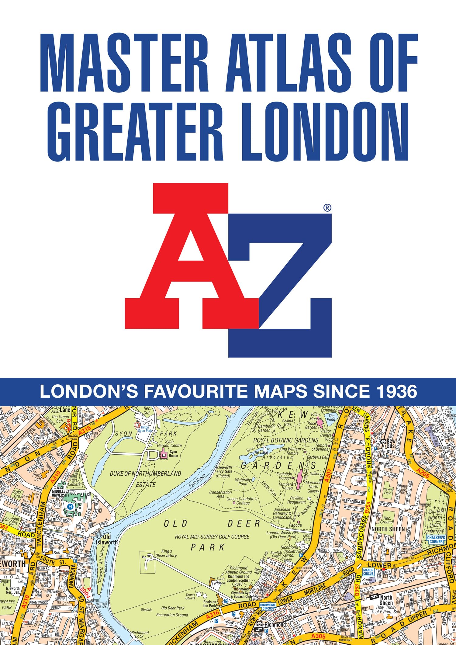
The ultimate street atlas to navigate your way around London. This comprehensive, paperback atlas encompasses an area of 1,450 square miles, including more than 90,000 streets and other addresses, and is trusted by local authorities, taxi drivers and emergency services. The coverage extends beyond the Greater London and M25 area to: Hemel Hempstead, St. Albans, Potters Bar, Waltham Cross, Epping, Brentwood, Thurrock, Stanford-le-Hope, Gravesend, Wrotham, Sevenoaks, Westerham, Oxted, Redhill, Reigate, Leatherhead, Great Bookham, Woking, Egham, Windsor, Slough, Chalfont St. Peter, Chorleywood, Bovingdon There are 18 pages of large scale (9" to 1 mile) street mapping of central London which gives additional clarity and detail, this mapping extends to: Regent's Park, St. Pancras International Station, Old Street, Tower Bridge, Bricklayer's Arms Junction, Vauxhall Bridge, South Kensington, Paddington Station and Lord's Cricket Ground. Postcode districts and one-way streets are included on the street mapping. Geographers’ Map Company Ltd. (A-Z Maps) was established in London on 25 August 1936. The company’s most famous publication, the iconic A-Z Atlas and Guide to London, was created by Phyllis Pearsall, the founder of A-Z, who explored every street in London to create the first edition. Since then, A-Z has become the trusted source for street maps and atlases, as well as developing Visitors’ Guides, Road Atlases and the Adventure Map series for walkers.