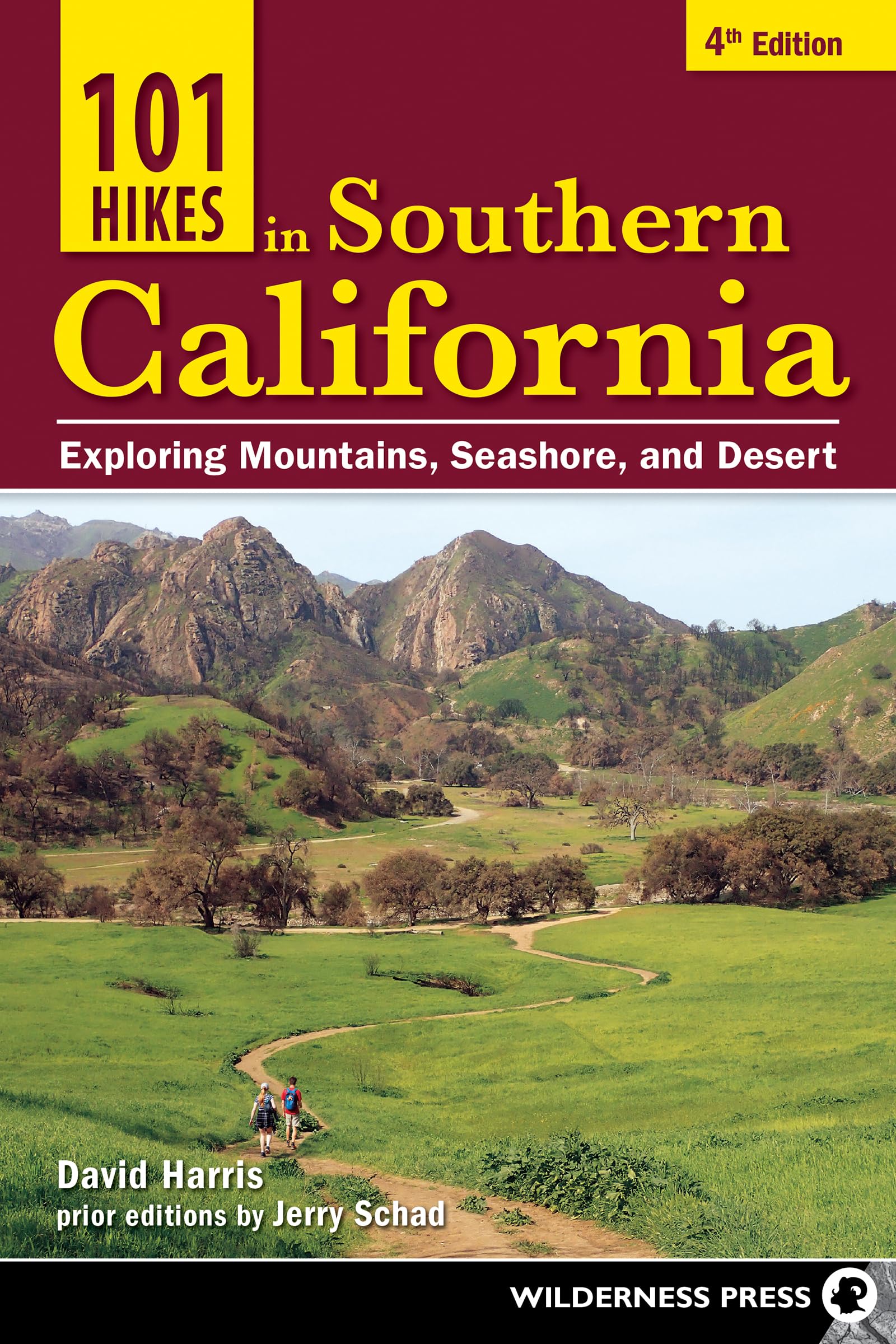
101 Hikes in Southern California: Exploring Mountains, Seashore, and Desert
$15.99
by David Harris
Discover 101 of the best hikes in Southern California, from family outings to 50-mile treks. The Southland is unparalleled for its beauty and diversity. A coastal trail, a desert hike, and a mountain trek are always just an hour or two away. Experience 101 of the region’s best hiking trips with authors David Harris and Jerry Schad. See a spectacular geological showcase cradled between two faults at the Devil’s Punchbowl. Find the ruins of a once grand Malibu mansion, now Solstice Canyon Park. Enjoy the natural hot springs alongside a mountain stream at Deep Creek. Take the guesswork out of choosing a trail that’s right for you. Each entry in this guidebook provides vital information like total distance, elevation gain or loss, hiking time, highlights, and difficulty—not to mention a full description of the route. You can take the entire family on a 1-mile stroll, or challenge yourself with a 52-mile backpacking trip. Inside you’ll find: 101 spectacular hikes, ranging from 1 to 52 miles - Essential details such as distance, elevation change, and difficulty - Route descriptions and directions to the trailheads - Full-color maps and photographs Leave the urban world behind and discover the natural splendor of Southern California—from the Santa Monica and San Gabriel Mountains to the Laguna Mountains and Anza-Borrego Desert, from the Torrey Pines beaches to the summit of San Jacinto Peak. David Harris is a professor of engineering at Harvey Mudd College. He is the author or coauthor of seven hiking guidebooks and four engineering textbooks. David grew up rambling about the Desolation Wilderness as a toddler in his father’s pack and later roamed the High Sierra as a Boy Scout. As a Sierra Club trip leader, he organized mountaineering trips throughout the Sierra Nevada. Since 1999, he has been exploring the mountains and deserts of Southern California. He lives with his three children in Upland, California, and delights in sharing his love of the outdoors with them. Jerry Schad (1949–2011) was Southern California’s leading outdoors writer. His 16 guidebooks, along with his “Roam-O-Rama” column in the San Diego Reader , helped thousands of hikers discover the region’s diverse wild places. Jerry ran or hiked many thousands of miles of distinct trails throughout California, in the Southwest, and in Mexico. He was a sub-24-hour finisher of Northern California’s 100-mile Western States Endurance Run and served in a leadership capacity for outdoor excursions around the world. He taught astronomy and physical science at San Diego Mesa College and chaired its physical sciences department from 1999 until 2011. His sudden, untimely death from kidney cancer shocked and saddened the hiking community. Sandstone Peak Location Circle X Ranch (Santa Monica Mountains National Recreation Area) - Highlights Most expansive view in the Santa Monicas, volcanic rock formations - Distance & Configuration 6-mile loop - Elevation Gain 1,400' - Hiking Time 3.5 hours - Optional Maps Tom Harrison Point Mugu State Park or Trails Illustrated Santa Monica Mountains National Recreation Area - Best Times October–June - Agency Santa Monica Mountains National Recreation Area - Difficulty Moderately strenuous - Trail Use Dogs allowed - Permit None required - Google Maps Sandstone Peak Trailhead Sandstone Peak is the quintessential destination for peak baggers in the Santa Monica Mountains. The 3,111-foot summit can be efficiently climbed from the east via the Backbone Trail in a mere 1.5 miles, but the far more scenic way to go is the loop outlined below. Take a picnic lunch, and plan to make a half day of it. Try to come on a crystalline day in late fall or winter to get the best skyline views. Or, if it’s wildflowers you most enjoy, come in April or May, when the native vegetation blooms most profusely at these middle elevations. In addition to blue-flowering stands of ceanothus, the early- to mid-spring floral bloom includes monkey flower, nightshade, Chinese houses, wild peony, wild hyacinth, morning glory, and phacelia. Delicate, orangish Humboldt lilies unfold by June. The 2018 Woolsey fire scorched parts of this loop, but the native vegetation is adapted to fire and is returning quickly. Sandstone Peak lies within Circle X Ranch, formerly owned by the Boy Scouts of America and now a federally managed unit of the Santa Monica Mountains National Recreation Area. The National Park Service generously provides free trail maps at the trailhead. To Reach the Trailhead: The Sandstone Peak Trailhead is located near the western end of the Santa Monica Mountains, a few miles (by crow’s flight) south of Thousand Oaks. From the Pacific Coast Highway near mile marker 1 VEN 1.00, turn north onto Yerba Buena Road and proceed 6.4 miles. Or from the 101 Freeway in Thousand Oaks, take Highway 23 south for 7.2 miles. Turn right (west) on Mulholland Highway, then in 0.4 mile turn right again onto Little Sycamore Canyon, which soon beco