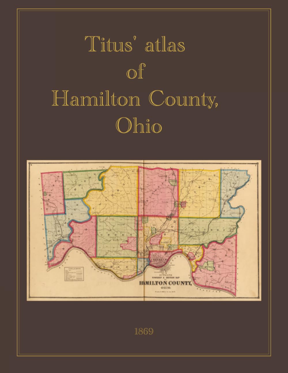
Search for 1869 Hamilton County Ohio atlas Search for 1869 Hamilton County Ohio atlas This full-color facsimile reproduces the Titus' Atlas of Hamilton County, Ohio , originally published in Philadelphia in 1869 by C.O. Titus and compiled from actual surveys by civil engineer R.H. Harrison. The atlas provides one of the most detailed cartographic records of Hamilton County and the City of Cincinnati during the post–Civil War era, when Cincinnati — then known as the "Queen City of the West" — was among the largest and most industrially significant cities in the United States. With ten detailed maps of Cincinnati alongside township and town plans covering the surrounding county, the atlas captures the region at a pivotal moment of urban expansion and industrial growth along the Ohio River. Summary of Contents The atlas opens with a title page, table of contents, table of distances, and an outline map of Hamilton County with explanation. The body of the work is organized into three principal sections: township and town plans covering the county, detailed ward-by-ward mapping of the City of Cincinnati, and supplementary reference maps. The township and town plans cover Whitewater, Miami, Harrison, Crosby, Green, Delhi, Storrs, Springfield, Sycamore, Colerain, Columbia, Symmes, Anderson, Spencer, Mill Creek, and Colerain townships, along with plans of numerous towns and villages including North Bend, Cleves, Elizabethtown, Miamitown, Harrison, Springfield, New Baltimore, New Haven, Riverside, Home City, Delhi, Cheviot, Plainville, Glendale, Hartwell, Pleasant Ridge, Lockland, Reading, Greenwood, O'Bryonsville, Pendleton, Camp Dennison, Montauk, Oakley, Camden City, Mount Pleasant, Madisonville, Sharpsburg, Columbia, Mount Washington, Dunlap, Winton Place, St. Peters, Avondale, Newtown, Montgomery, Cumminsville, Carthage, New Burlington, Corryville, Clifton, St. Bernard, Walnut Hills, Woodburn, California, Camp Washington, Clifton Heights, College Hill, Sharon, Fairmount, and Mount Harrison. The City of Cincinnati is presented through an outline map of the city and vicinity, followed by ten detailed ward plans: Part I (16th Ward), Part II (14th and 15th Wards), Part III (5th, 7th, and 10th Wards), Part IV (2nd, 4th, and 14th Wards), Part V (1st and 3rd Wards), Part VI (9th and 13th Wards), Part VII (17th and part of 20th Wards), Part VIII (part of 20th Ward), Part IX (11th and 19th Wards), and Part X (12th and 18th Wards). The atlas concludes with a township map of the State of Ohio , an outline and railroad map of the United States, and steel engravings of Longview Asylum with an accompanying description.