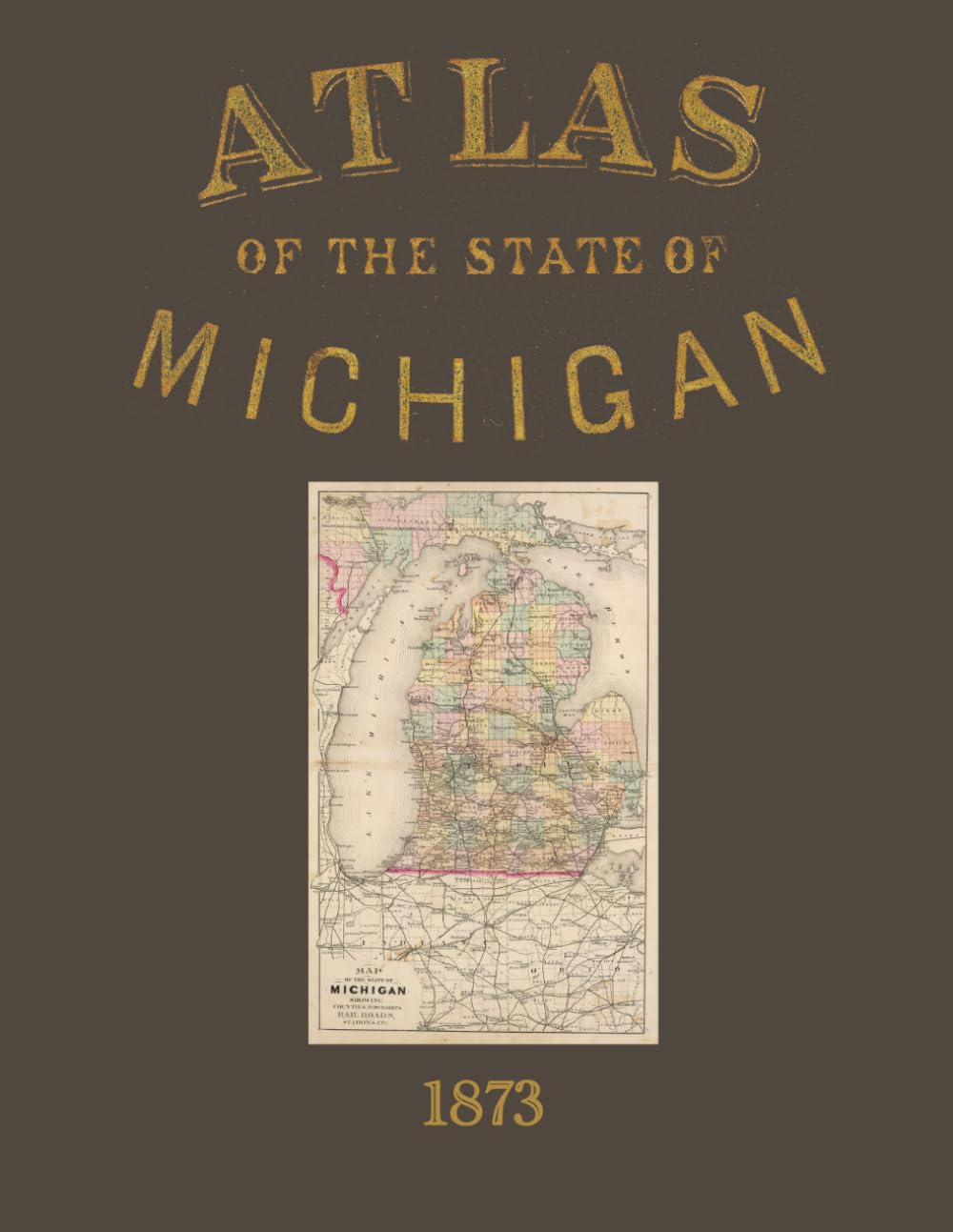
Atlas of the State of Michigan is a color facsimile reprint of the township and county maps from the landmark 1873 state atlas drawn, compiled, and edited by H.F. Walling, C.E., and published by R.M. & S.T. Tackabury of Detroit. Please note that this reprint includes the maps only — the descriptive and statistical text sections found in the original volume, including chapters on topography, hydrology, geology, climate, railroads, education, forest and mineral wealth, census data, and the gazetteer, are not included in this edition. The original atlas drew on contributions from Alexander Winchell, LL.D. — one of the most prominent geologists and naturalists of 19th-century America — alongside Hon. C.I. Walker, Oramel Hosford, Henry M. Utley, and Ray Haddock, making it one of the most ambitious surveys of Michigan ever undertaken. This color facsimile of the map plates is an essential reference for genealogists researching Michigan family histories, historians studying the state's rapid development during the post-Civil War era, and collectors of Great Lakes and Midwest Americana. The township-level maps record property owners, roads, waterways, and settlement patterns at a moment when Michigan was experiencing dramatic population growth and industrial expansion. Walling's state atlases are widely regarded as among the finest examples of 19th-century American cartographic publishing, and the map plates alone represent an invaluable and visually stunning primary source for researchers and collectors alike.