1873 Combined Atlas Of The State Of New Jersey and the County of Hudson
$34.95
by G.M. Hopkins
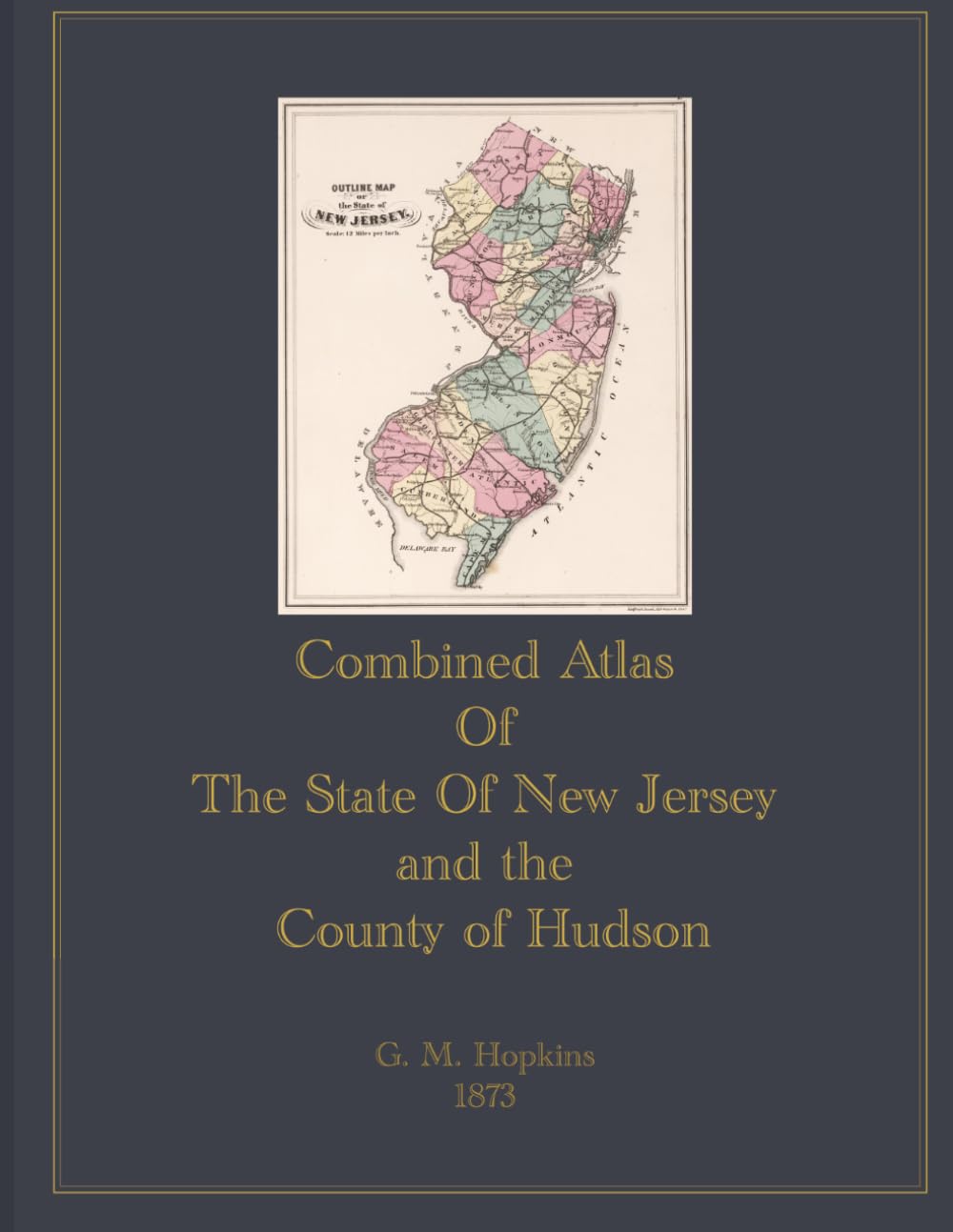
The Combined Atlas of the State of New Jersey and the County of Hudson is a color facsimile reproduction of the original New Jersey Atlas. This volume brings together detailed county maps covering all of New Jersey's historic counties, including Atlantic, Bergen, Burlington, Camden, Cape May, Cumberland, Essex, Gloucester, Hudson, Hunterdon, Mercer, Middlesex, Monmouth, Morris, Ocean, Passaic, Salem, Somerset, Sussex, Union, and Warren, along with a General Map of New Jersey. Each map has been reproduced in full color from the original 1873 printing. The atlas includes an extensive section devoted to Hudson County, covering its cities, towns, and townships in detail. Large-scale plate maps document Jersey City, Hoboken, West Hoboken, the Town of Union, Union Township, Weehawken, North Bergen Township, the Township of Kearney, Harrison (East Newark), the formerly independent Township of Greenville (now part of Jersey City), and the City of Bayonne. Plates are rendered at scales ranging from 150 to 400 feet per inch, making this a useful primary source for researchers, historians, and genealogists studying Hudson County and New Jersey during the latter half of the 19th century.