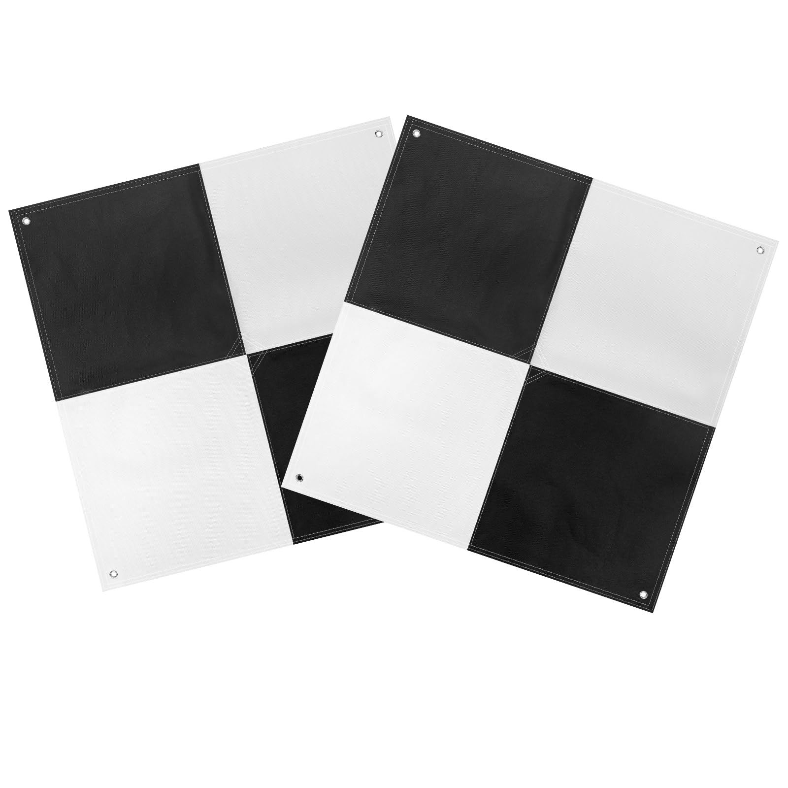
Efficient Surveying GCP: The UAV GCP adopts a black white color scheme to provide optimal visibility. The color scheme enhances target exposure, ensuring clearer images and more accurate data capture. Even in complex lighting conditions, high-quality data can be reliably obtained using this GCP. Its standard black white checkerboard pattern is compatible with most surveying equipment software and software with automatic recognition function, further improving survey efficiency and accuracy. Excellent Aerial Survey Target: The center opening design makes it easy to directly insert the column to locate the coordinate measurement, or aim the drone camera at the center channel to quickly capture accurate data. This UAV GCP improves the accuracy of data collection and optimizes the efficiency of drone operations. The drone GCP with center eyelet is widely used in surveying equipment, construction, scene reconstruction and other fields, and is also often used in education and training. Hole Design GCP: The center hole designed on this UAV GCP makes it easy to quickly identify the center of the GCP through the surveying equipment rod to avoid tearing the aerial target. Each corner has holes for easy fixing. The anchor point design supports long-term deployment. When repeated flights are required, it can be left on site without repositioning, ensuring that the GCP provides high-precision and repeatable position data, which is suitable for precise surveying, photogrammetry. Premium Fabric for GCP: The survey Mapping Target is constructed with PVC coating reinforced by a polyester mesh. The matte finish design reduces sunlight glare and overexposure, facilitating accurate selection of the target center. The drone GCP is lightweight and clearly visible, suitable for travel and field setting of UAV ground control points. Compared with traditional DIY solutions, its performance is more stable and reliable, and it is an ideal choice widely recommended by the industry. Affordable Ground Control Point: This 24”x24” ariel survey targets is designed for low to mid-altitude UAV mapping and scanning, suitable for flight altitudes up to 400 feet. Compared with homemade UAV GCPs, our design has advantages in performance and economy. Standard size facilitates map scaling and verification, and provides accurate reference distances for post-processing. We ensure a more efficient and cost-effective GCP aerial survey target solution. This 24"x24" Aerial Survey Mapping Target (GCP) is designed for low to medium altitude drone mapping and scanning, suitable for drone operations up to 400 feet.The UAV GCP standard size helps calibrate reference distances during post-processing, ensuring accurate map construction and verification.
GCP Ground Control Point Design:
The center channel design allows preset surveying equipment stakes or markers to slide directly into the GCP, reducing the difficulty of operation. Each corner is equipped with fixed anchor points to ensure the stability of the Aerial Survey Target during flight missions.
Durable and high-quality materials:
The UAV Survey Control Marker uses weather-resistant Oxford cloth material, which is waterproof and wear-resistant with high visibility. It is also lightweight and easy to carry, suitable for use in various environments, especially when the sun is strong, which can effectively reduce the reflection problem. The PE coating on the back helps prevent the fabric from fading, enhances waterproof performance and is also stain-resistant.
Compatible with most surveying equipment software devices:
The Drone Survey Control Point is also compatible with a variety of popular drone software, widely used in various types of photogrammetry and spatial data mapping, and performs well in educational training projects. Suitable for long-term repeated use, ensuring high-precision positioning and data collection.
If you are looking for a reliable, durable and efficient UAV Survey Mapping Target to improve your drone mapping accuracy, this product is undoubtedly your ideal choice.