Afoot & Afield: Orange County: 128 Spectacular Hikes in Southern California
$18.57
by David Harris
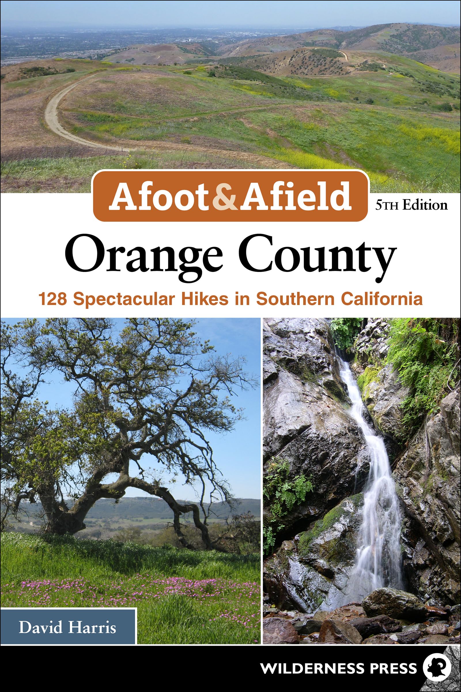
Explore nature in and around Orange County via more than 100 hiking trails. When you think of Orange County in Southern California, you might imagine large cities like Anaheim, Irvine, and Santa Ana. However, just beyond the urban sprawl, the natural world lies within reach. The ocean rolls against jagged cliffs, raptors soar above foothill country, and mammals roam within the region’s mountains and canyons. All told, parks, preserves, designated open spaces, and public lands cover some 200,000 acres—with more than 500 miles of trails and roads for hiking—in and near Orange County. Discover the best day hikes along the coast, in foothills, and across mountains. In Afoot & Afield: Orange County, David Harris presents virtually every hike worth taking on wild public lands that are conveniently accessible to the area’s residents and tourists. This updated and expanded edition features 128 trips, from serene summits to sparkling seaside strolls. The guidebook covers the beaches and bays, Crystal Cove State Park, the Chino Hills, Santa Rosa Plateau Ecological Reserve, county wilderness parks, the Santa Ana Mountains, and more. From short strolls to challenging adventures, every trail is within a short car trip from the Southland’s cities. Each trip includes the following: Key information such as distance, hiking time, elevation gain/loss, and difficulty - Complete trip description and hiking directions - Easy-to-read map with GPS waypoints - Notes on which trails are most suitable for mountain biking, backpacking, horse riding, dogs, and families David Harris is a professor of engineering at Harvey Mudd College. He is the author or coauthor of 13 hiking guidebooks and engineering textbooks. Since 1999, he has been exploring the mountains and deserts of Southern California. He lives with his three children in Upland, California, and delights in sharing his love of the outdoors with them. Bane Rim Loop Distance 7 miles (loop) - Hiking Time 3 hours - Elevation Gain 1,300' - Difficulty Moderately strenuous - Trail Use Cyclists, equestrians - Best Times November–May, 8 a.m.–5 p.m. (until 7 p.m. April–September) - Google Maps Trailhead near Telegraph Canyon Road Lookout - Agency Chino Hills State Park - Permit State-park day-use fee required Directions From Highway 71, take Exit 7 for Soquel Canyon Parkway and drive west 1 mile to Elinvar Drive. Turn left and then, in 0.2 mile, left again onto Sapphire Road. Immediately turn right onto Bane Canyon Road, entering Chino Hills State Park. Proceed 2.6 miles to the Lower Aliso Day Use Area, the first trailhead parking area on the left, with picnic gazebos. If you reach the equestrian staging area, you’ve gone 0.2 mile too far. Cyclists often start on Elinvar Drive instead and bike into the park to join the loop at the Bane Ridge Trail, bypassing the kiosk collecting vehicle entry fees, but the narrow paved entry road is not pleasant for hikers. Be aware of cars on the curvy one-lane park entry road. Bane Canyon cuts through the northeast portion of the park. The ridges on either side of the canyon offer terrific views, especially in the spring when the park is green and wildflowers are blooming. This loop hike, the long way to McLean Overlook, features walks on both ridges and is one of the most popular hikes in the park. This trip makes a clockwise loop. From the parking area, find an unsigned trail on the north side of the road that leads 0.1 mile west to the equestrian staging area. Turn right, pick up the Bane Ridge Trail, and follow the undulating ridge (which is steep in places) as it leads north 2.3 miles. The panoramic views of the largely undeveloped hills are a striking contrast to the heavily built lands outside the park. Pass a utility road near the three high-voltage transmission lines, then the unsigned Sidewinder Trail on the left. Your path broadens into a service road and descends to Bane Canyon Road. Cross the paved road and continue east up a dirt road that curves up to the ridge. At a ridgetop junction in 0.4 mile, turn sharply right and follow the ridge south 0.2 mile. At a signed junction, the East Fenceline Trail descends to the east, but our trip continues south on the dramatic narrow ridge. In 0.5 mile, reach a vista point atop a hill where the trail ends at a power-line road called the Pomona Trail. Turn left onto the Pomona Trail and follow it southeast 0.6 mile, descending to an old windmill where you again meet the sometimes poorly maintained East Fenceline Trail. Turn right and follow the trail south as it weaves along the fence separating the state park from private ranchland. In 0.8 mile, cross dirt Slaughter Canyon Road; in another 0.6 mile, the trail ends at a T-junction with a dirt road known as the Longway Around Trail. Turn left and head up the road, passing the Corral Trail in 0.1 mile and reaching McLean Overlook in another 0.2 mile. Enjoy a snack at the picnic bench and survey the eastern end of the park from the knoll.