Alpine Lakes West Stevens Pass, WA No. 176S (Green Trails Maps)
$14.00
by Green Trails Maps
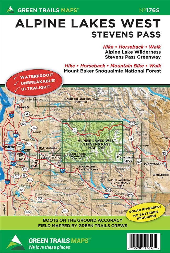
The 400,000-plus acre Alpine Lakes Wilderness teems with hundreds of sparkling backcountry lakes, deep glaciated valleys cloaked with old-growth forests, hundreds of snow and glacier capped peaks and miles of meadows that burst with dazzling blossoms throughout the summer. This map covers the heart of the wilderness and includes the upper Icicle Creek valley, upper Cle Elum River valley, the Miller River valley and Foss River valley. Also included in this map is Mount Daniel, the highest peak in the wilderness. With this map plan hikes to the West Fork Foss Lakes, Necklace Valley, Marmot Lake, Surprise Lake, Larch Lake, Scottish Lakes and many others. Map also includes the Pacific Crest Trail from Waptus Lake to Union Gap. Based in Seattle since its founding in 1973 by Walt Locke as the first publisher of high-quality recreational topographical maps to Washington State, Green Trails Maps publishes more than 150 titles for the most spectacular mountain, beach and desert areas North America. Green Trails Maps show the most current trail, road, and access information to national forests, national parks, state and local parks and other public lands, and are favored by hikers, climbers, cross-country skiers, horseback riders, hunters, anglers, mountain biker riders and search and rescue groups and recommended by the most venerable and respected climbing guides.