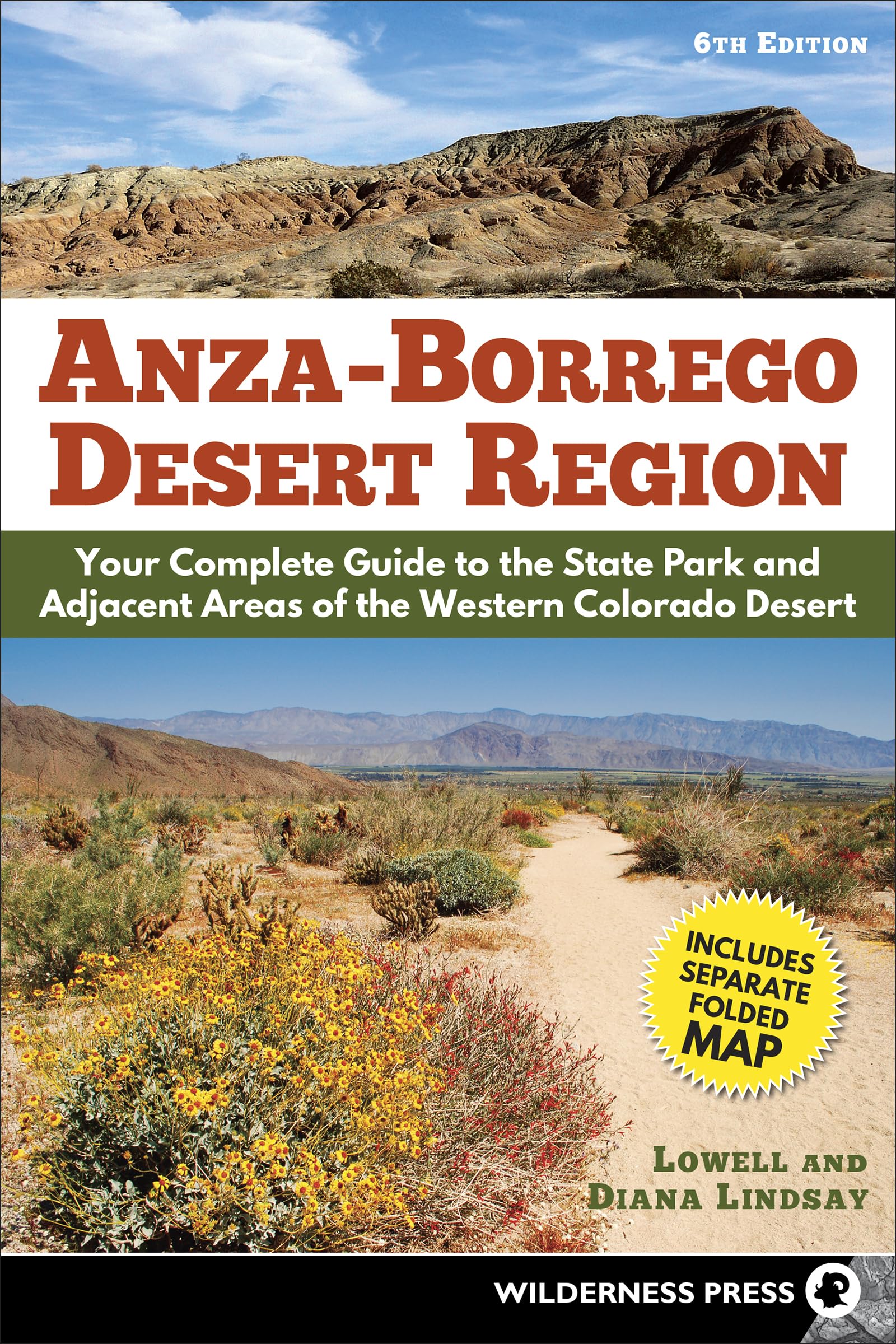
Anza-Borrego Desert Region: Your Complete Guide to the State Park and Adjacent Areas of the Western Colorado Desert
$9.95
by Lowell Lindsay
The book you need before you go to the Anza-Borrego Desert The Anza-Borrego and Western Colorado Desert Region is a vast, intriguing landscape that harbors a rich variety of desert plants and animals. Prepare for adventure with this comprehensive guidebook, providing everything from trail logs and natural history to a Desert Directory of agencies, accommodations, and facilities, as well as highway mileage markers and GPS coordinates. It is the perfect companion for hikers, campers, history buffs, and casual visitors. The popular guidebook by Lowell Lindsay and Diana Lindsay is fully updated and offers complete coverage of over 1 million acres of desert lands and adjoining mountainous areas: Anza-Borrego Desert State Park, Ocotillo Wells State Vehicular Recreation Area, parts of the Santa Rosa and San Jacinto Mountains National Monument, Bureau of Land Management recreational and wilderness lands, and more. Anza-Borrego Desert Region features 200 trails of varying difficulty and distances that appeal to both the novice and seasoned hiker. Plus, the newly revised back pocket map is also included, showing expanded boundaries for state park and state vehicular recreation areas. This is a must-have for anyone thinking about visiting Anza-Borrego Desert State Park. DIANA AND LOWELL LINDSAY have been exploring the Anza-Borrego region for 50 years. They have written and edited several award-winning books, including Our Historic Desert: The Story of Anza-Borrego Desert State Park ; Anza-Borrego A to Z: People, Places, and Things ; Marshal South and the Ghost Mountain Chronicles ; Fossil Treasures of the Anza-Borrego Desert: The Last Seven Million Years ; Geology of Anza-Borrego: Edge of Creation ; Geology and Geothermal Resources of the Imperial and Mexicali Valleys ; Ricardo Breceda: Accidental Artist ; and Coast to Cactus: The Canyoneer Trail Guide to San Diego Outdoors . Diana received her master’s degree from San Diego State University, specializing in history and geography of the Southwest. She was a board member of the Anza-Borrego Foundation for almost 30 years and served twice as president. In 2013 she was presented with the Medallion Award―the state’s highest honor for “superior achievement” in volunteer service. She is an honorary California State Park Ranger. She was also Grand Marshal of the Borrego Days Desert Festival Parade in 2017 and received a resolution from the San Diego County Board of Supervisors acknowledging her contributions to this desert area. Lowell is a former US Navy helicopter pilot and wilderness survival instructor. He received his master’s degree from West Texas A&M in public administration, specializing in environmental education. He worked for years as a YMCA executive director and for a period of time managed Camp Marston and Raintree Ranch in Julian, California. He is past president of the San Diego Association of Geologists, served as treasurer of the national Association of Earth Science Editors, and is an active member of the ABDSP Paleontology Society. The Lindsays own Sunbelt Publications, a regional book publishing and distribution company located in San Diego, California. Central Hwy 78, Hwy S-3 THE HWY 78 “SAN FELIPE CORRIDOR” FORMS THE BROAD MIDRIFF of the Anza-Borrego region, extending east from pine-covered uplands and mile-high peaks to below-sea-level desert plains. Highway 78, from Julian to the Salton Sea, traversing the watershed of San Felipe Wash and its tributaries, has been a major corridor of travel since the late 1800s. As an E-W corridor, it is a notable exception to historic routes of travel in the Anza-Borrego region, which generally follow NW/SE-trending earthquake faults. Highway 78 slices across the following faults: Elsinore fault at Banner, Earthquake Valley fault at Scissors Crossing, San Felipe fault at the Narrows, Yaqui Ridge detachment fault at Nude Wash, Coyote Creek fault at Ocotillo Wells, and Superstition Hills fault near Trifolium (junction of Hwys 78 and 86). Highway 78 generally follows the path of Banner and San Felipe Creeks, which are antecedent streams, present before tectonic uplift. Subsequent uplift was slow enough to permit the flowing water to cut downward as fast as the rock barriers arose. Consequently, Hwy 78 is never more than a couple of miles from San Felipe Creek except for the creek’s northward loop around Borrego Mountain, which is influenced by the Coyote Creek fault. As a recreational corridor, Hwy 78 is the central entrance to the Anza-Borrego area. The park’s second-largest campground, Tamarisk Grove, is located on this corridor, as is Ocotillo Wells, in Lower Borrego Valley, which is a popular recreational focal point for off-roaders and desert explorers. Ocotillo Wells features Borrego Mountain to the northwest, the Ocotillo Wells State Vehicular Recreation Area (OWSVRA) to the north, and the Split Mountain/Fish Creek area to the south. Farther east the R9/R10 Poleline Road (BLM Road EC191) offers acc