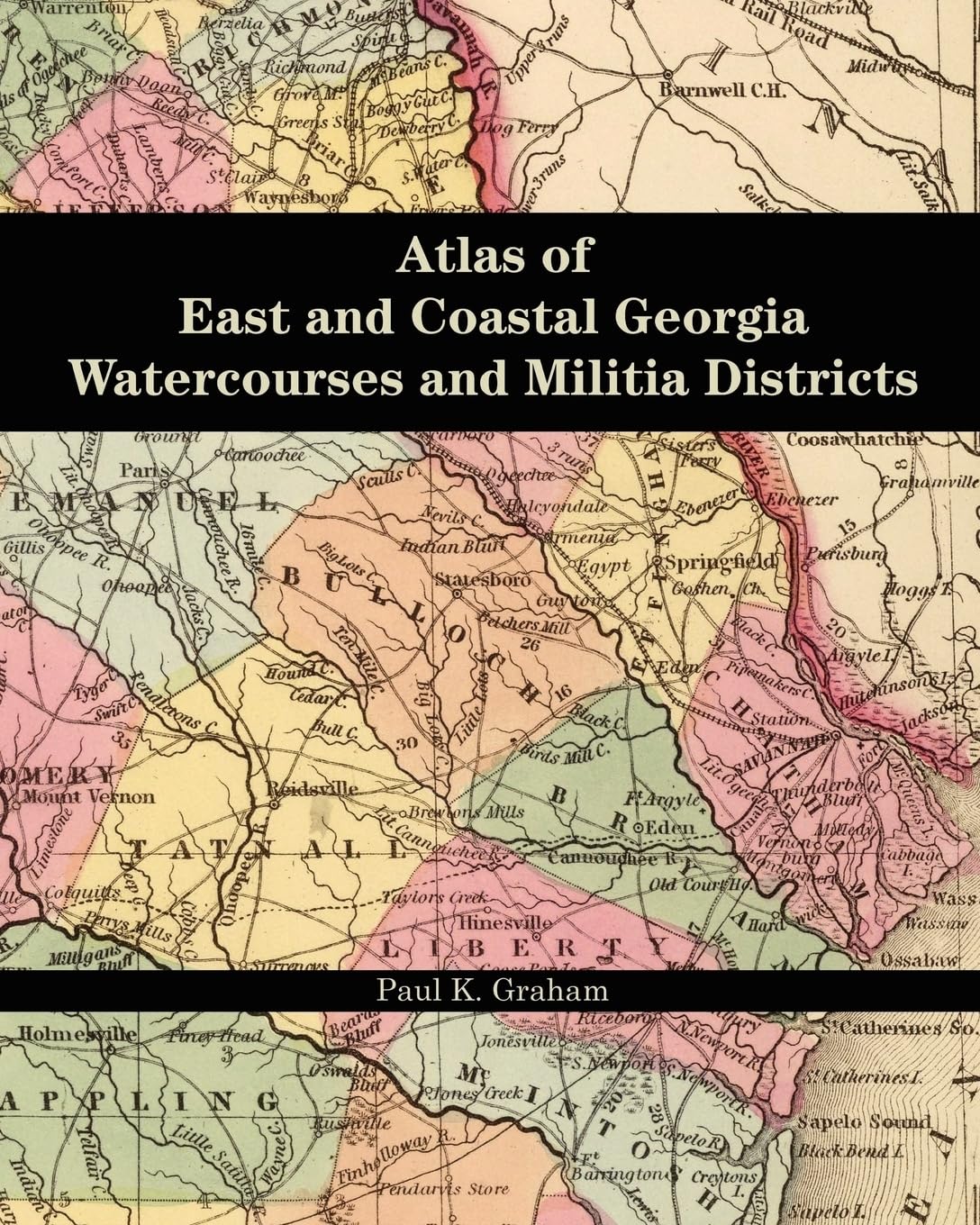
Atlas of East and Coastal Georgia Watercourses and Militia Districts
$14.95
by Paul K. Graham
Researchers studying the people and land of east Georgia should always have a ready map reference to watercourses and militia districts. Those two features are used to identify the location of land and residences, where streams often serve as property boundaries and tax and census records are arranged by militia district. This atlas is a functional research aid, with fifty individual county maps encompassing the entire region granted under the headright land system. "This slim but valuable work will help anyone ... highlight where their ancestors lived. Graham has studied the original information and other maps to make this the most authoritative work on the subject." --Kenneth H. Thomas, Jr. Researchers studying the people and land of east Georgia should always have a ready map reference to watercourses and militia districts. Those two features are used to identify the location of land and residences, where streams often serve as property boundaries and tax and census records are arranged by militia district. This atlas is a functional research aid, with fifty individual county maps encompassing the entire region granted under the headright land system. Paul K. Graham is a board-certified genealogist specializing in Georgia research and genealogical problem solving. Used Book in Good Condition