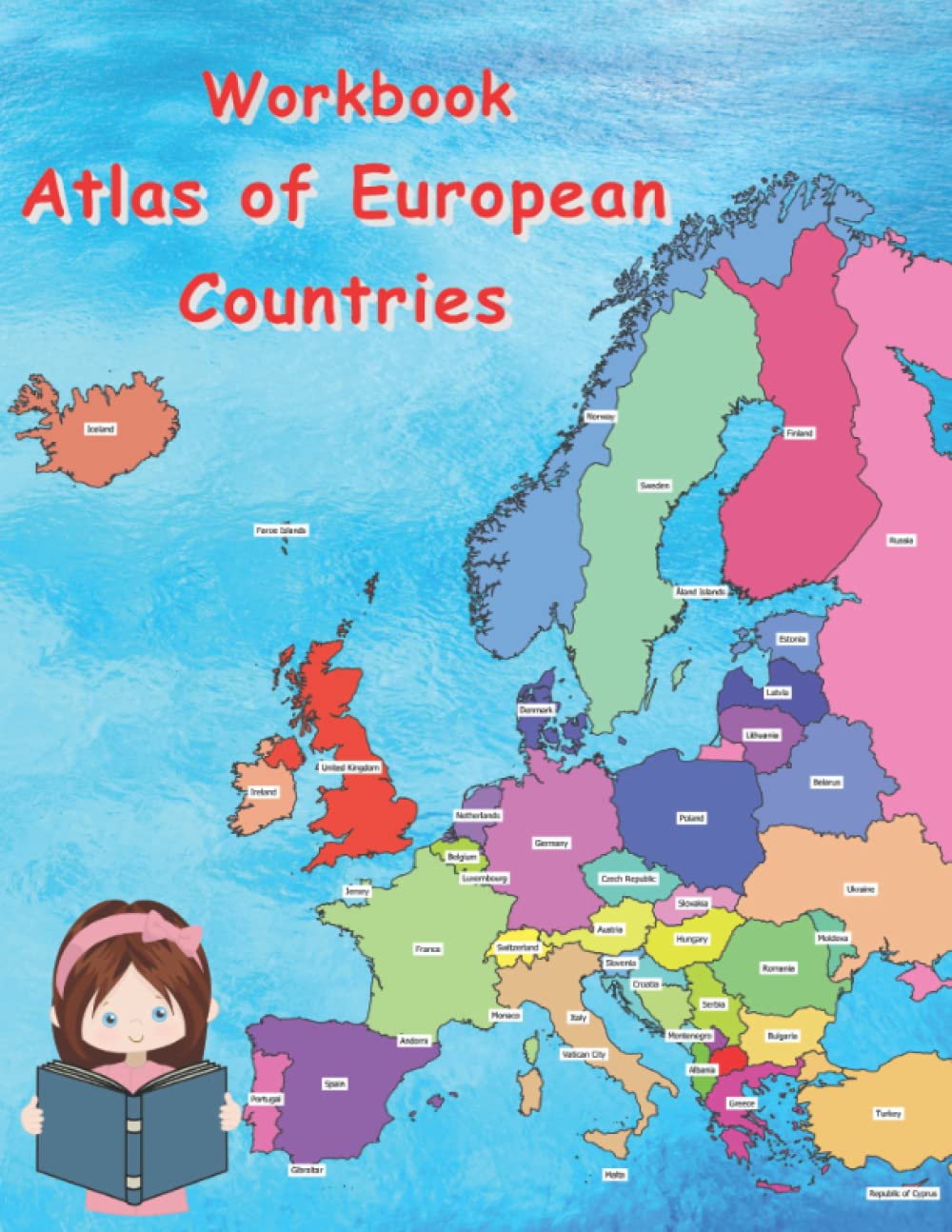
Atlas of European Countries Workbook for Children: Geography Activity Book Map of Europe for Kids An educational workbook that transforms the Europe atlas into a practical and engaging learning experience for students! What’s inside: 🌍 Activities for all European countries – fill-in exercises, coloring tasks, and map identification challenges 🗺️ Working maps – find and color each country on the map of Europe ✏️ Structured exercises – complete information about capitals, mountains, rivers, population, and language 🎨 Visual activities – color flags, mark geographical features, recognize neighboring countries 📖 Learning through play – a combination of atlas and activity workbook Benefits: Strengthens geographical knowledge through hands-on exercises - Improves focus and memory with table-completions and map-based tasks - Boosts creativity through coloring and visual activities - Suitable for school, homeschooling, and at-home learning Target audience: Children ages 7–12 studying European geography - Teachers seeking interactive classroom materials - Parents looking for fun and educational support for their children ✨ In short: This workbook is the ideal partner to the atlas – an activity book that helps children explore Europe actively through coloring, completing tasks, and discovering new information.