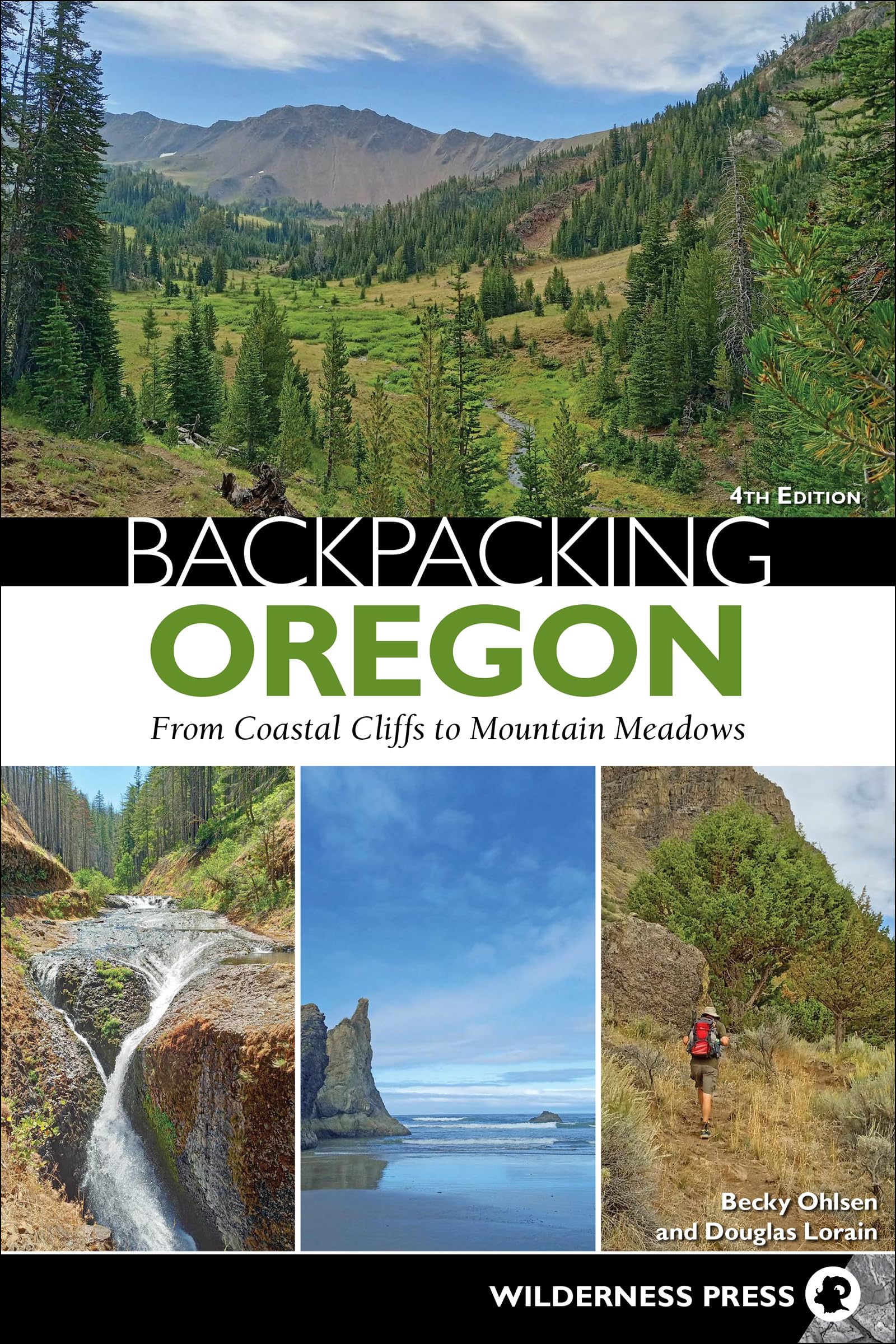
Find 30 premier backpacking routes in the Pacific Northwest with this comprehensive guide, complete with maps and essential details. Whether you’re a hiker looking for new challenges or a seasoned backpacker in search of unique routes, find your favorite scenic escapes in Oregon. Prepare yourself for colorful desert canyonlands, stunning wildflower meadows, glacier-clad mountains, and more! Expert authors Becky Ohlsen and Douglas Lorain present 30 of the best backpacking opportunities in the country. Explore the various landscapes of the Wallowa Mountains. See the peaks of Mount Hood and the Three Sisters in the High Cascades, as well as the gaping chasm of Hells Canyon. Each carefully crafted itinerary offers geographic diversity, beautiful settings, and attainable daily mileage goals. A trusted guide since 1999, this updated edition provides all the information backpackers need, including trail highlights, total mileage, elevation gain, days on the trail, shuttle distances, and required permits—not to mention professional photographs and detailed maps. Plus, ratings for scenery, solitude, and difficulty help you find the exact adventure you seek. As an added bonus, the authors include recommendations for 14 additional backpacking trips. Whether you have three days or a couple weeks, an adventure filled with spectacular sights and superb vistas awaits. Inside you’ll find: 30 premier backpacking trips, ranging from a few days to more than a week - Carefully crafted itineraries that offer geographic diversity and attainable mileage goals - The authors’ ratings for scenery, solitude, and difficulty - Need-to-know details, such as trail highlights, mileage, elevation gain, and more - Bonus: author recommendations for 14 additional backpacking trips “Even if you’re only going to do one hike a year, buy this book; it’s money well-spent.” — Active Northwest Becky Ohlsen is an outdoor adventurer, travel writer, and part-time nomad who moved to Portland in 1995. She is also the author of Walking Portland and coauthor of Best Tent Camping: Oregon and One Night Wilderness: Portland . She has written dozens of travel guidebooks, covering destinations including Oregon and Washington. In summer, she spends much of her time exploring the outdoors firsthand, bringing deep field experience to her writing. Douglas Lorain has explored the Pacific Northwest since 1969 and has hiked more than 30,000 miles throughout the region, along with many thousands more in other western states and Canadian provinces. His extensive backpacking experience informs his work on trails across the American Northwest. He is the author of several guidebooks, including Backpacking Idaho, Backpacking Washington, Backpacking Wyoming, and One Best Hike: Mount Rainier’s Wonderland Trail . Douglas is also a photographer and a recipient of the National Outdoor Book Award. Mount Jefferson Wilderness Loop Ratings: Scenery: 9, Solitude: 5, Difficulty 6 - Miles: 35 - Elevation Gain: 6,500' - Days: 3–4 - Shuttle Mileage: NA - Map: USFS Detroit Ranger District: Willamette National Forest; National Geographic Trails Illustrated #819: Mt. Jefferson/Mt. Washington - Usually Open: June–October - Best: Mid-July–September - Permits: Northwest Forest Pass required at trailheads; Central Cascades Wilderness Permit ($6 fee) required June 15–October 15 via recreation.gov or 877-444-6777 - Rules: Wilderness restrictions apply; no fires at Marion Lake or Lake Ann, or above 5,700 feet in designated zones - Contact: Detroit Ranger District, Willamette National Forest, 503-854-3366, fs.usda.gov/willamette Special Attractions Views and mountain scenery, alpine lakes Challenges Permits and access restrictions, crowds, burn areas, mosquitoes July–mid-August How to Get There To reach the Marion Lake trailhead, go south on I-5 from Portland. Take Exit 253 for OR 22 east toward Detroit. Continue on OR 22 for 64.9 miles. Turn left on Marion Creek Road (right before the turnoff for the campground and fish hatchery). The trailhead is 4.5 miles down Marion Creek Road (FS 2255). GPS Trailhead Coordinates: (Marion Lake) N44° 34.593' W121° 53.626' Introduction Because one trip into the Mount Jefferson Wilderness just isn’t enough, this loop through the southern portion of it offers more mountain scenery, more lakes, and more time along the Pacific Crest Trail (PCT) as it traces the mountainous backbone of Oregon. The loop makes use of a 14-mile stretch of the PCT and a close-up view of one of the state’s most distinctive peaks, Three Fingered Jack. The route takes in a huge variety of terrain, from thick forests and wildflower meadows to otherworldly volcanic formations to some of the prettiest lakes you can reach on foot. Granted, it’s not exactly a well-kept secret, so you’re likely to run into day hikers anytime you’re near a trailhead, but the permit system means that overnight hikers who secure a permit shouldn’t have a hard time finding a place to camp. Much of t