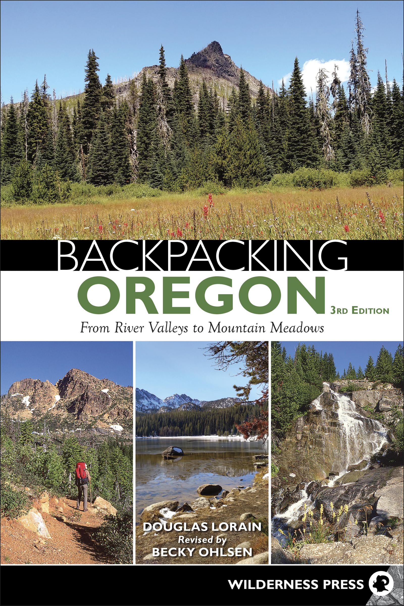
Your Guide to Oregon’s Best Backpacking Trips Colorful desert canyonlands, stunning wildflower meadows, glacier-clad mountains―find your favorite scenic escape in Oregon. Authors and hiking experts Douglas Lorain and Becky Ohlsen present 26 of the best backpacking opportunities in the country. Explore the various landscapes of the Wallowa Mountains. See the peaks of Mount Hood and the Three Sisters in the High Cascades, as well as the gaping chasm of Hells Canyon. Each carefully crafted itinerary offers geographic diversity, beautiful settings, and attainable daily mileage goals. This in-depth guide provides all the information backpackers need, including trail highlights, total mileage, elevation gain, days on the trail, shuttle distances, required permits, and more―not to mention professional photographs and detailed maps. Plus, ratings for scenery, solitude, and difficulty help you to find the exact adventure you seek. As an added bonus, the authors include recommendations for 16 additional backpacking trips. Whether you have three days or two weeks, an adventure filled with spectacular sights and superb vistas awaits. “Even if you’re only going to do one hike a year, buy this book; it’s money well-spent.” ―Active Northwest Douglas Lorain moved with his family to the Pacific Northwest in 1969, and he has been obsessively hitting the trails of his home region ever since. Spurred by an unquenchable thirst for new trails to explore and a great enthusiasm for backpacking, he has now hiked more than 30,000 miles through every corner of the American Northwest and many thousands more in other western states and Canadian provinces. Despite a history that includes being bitten by a rattlesnake, being shot at by a hunter, being charged by grizzly bears (twice!), and donating gallons of blood to mosquitoes, Lorain claims that he wouldn’t trade one moment of it because he has also been blessed to see some of the most beautiful scenery on Earth. His other books for Wilderness Press include Afoot & Afield: Portland/Vancouver, Backpacking Idaho, Backpacking Washington, Backpacking Wyoming, One Best Hike: Mount Rainier’s Wonderland Trail, One Night Wilderness: Portland, and Top Trails: Olympic National Park & Vicinity. Lorain is a photographer and recipient of the National Outdoor Book Award. His photographs have appeared in numerous magazines, calendars, and books. This third edition of Backpacking Oregon was updated and revised by Becky Ohlsen. Ohlsen has lived in the Pacific Northwest since 1995 and is the author of Walking Portland. She also writes travel guidebooks for Lonely Planet, covering Sweden, Oregon, and Washington, among other destinations. MOUNT JEFFERSON WILDERNESS TRAVERSE RATINGS: Scenery: 10, Solitude: 3, Difficulty 6 - MILES: 44 - ELEVATION GAIN: 6,400' - DAYS: 4–6 - SHUTTLE MILEAGE: 76 - MAP: USFS Detroit Ranger District: Willamette National Forest - USUALLY OPEN: Mid-July–October - BEST: Late July–mid-August - PERMITS: Yes, self-issued at trailhead; Northwest Forest Pass required at trailheads; limited-entry permits also required for the Pamelia Area (reserve in advance, $10 reservation fee, available at recreation.gov or 877-444-6777). - RULES: No fires at Rockpile Lake or Jefferson Park; designated campsites at Wasco Lake and lakes in Jefferson Park - CONTACT: Detroit Ranger District, Willamette National Forest, 503-854-3366, www.fs.usda.gov/willamette SPECIAL ATTRACTIONS Views and mountain scenery; Jefferson Park― wow! CHALLENGES Permits and access restrictions; long stretches without water; crowds; snowfields; crossing of Russell Creek; mosquitoes (especially in the Olallie Scenic Area) mid-July–mid-August HOW TO GET THERE From I-5, take Exit 228 (about halfway between Salem and Eugene), and head east on OR 34. In 7.9 miles, take a right onto North Second Street, and in 0.1 mile turn right onto US 20. In 67.1 miles, you will find the well-marked Pacific Crest Trailhead at Santiam Pass on your left. The north trailhead is reached by taking I-5 to Exit 253 in Salem. Head east on OR 22, and go 48.5 miles to Detroit. Turn left onto Forest Service Road 46, heading northeast from Detroit. Go over a pass after 16 miles, descend north another 7 miles, and then continue another 5.2 miles to the trailhead at the north end of Olallie Lake. To reach the Breitenbush Lake trailhead (suitable only for four-wheel drive vehicles) from Detroit, take FS 46 northeast. Go 16.5 miles, and turn right onto FS 4220. Go 6.5 miles to reach the trailhead. (You can also reach it via Olallie Lake, but that section of road is notoriously bad.) GPS TRAILHEAD COORDINATES: (Santiam Pass) N44° 25.365' W121° 51.307' (Olallie Lake) N44° 51.467' W121° 46.396' (Breitenbush Lake) N44° 45.888' W121° 47.126' INTRODUCTION The Pacific Crest Trail (PCT) traces the entire mountainous backbone of Oregon. Along the way it visits most of the scenic highlights of the Cascade Range. Most hikers rank the section through the Mou