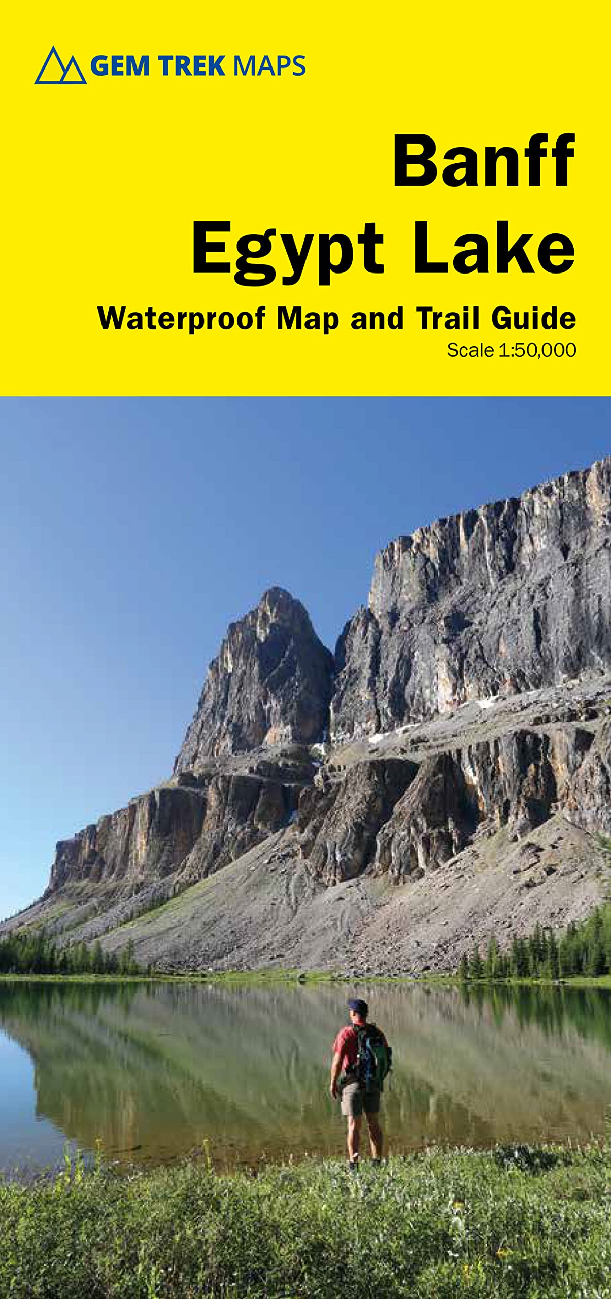
Waterproof and tear-resistant hiking and recreation map for the area surrounding the town of Banff and immediately to the north and west. The Banff–Egypt Lake Map features detailed cartography, accurate hiking trails with distances, and details such as side trips and backcountry campgrounds. For road travellers, it includes viewpoints, picnic areas, and campgrounds. On the back of the map are trail descriptions of 17 recommended day hikes and four classic multi-day trips, all referenced to the map on the front. Also on the back is a list of trails recommended for early season, birdwatching, wildflowers, waterfalls, expansive views, awe-inspiring scenery, alpine meadows and rainy days. Included are contact numbers for visitor centres and backcountry bookings, plus information on Egypt Lake Shelter and Shadow Lake Lodge. Map coverage: The Banff–Egypt Lake Map stretches from just east of Taylor Lake in the west to the west end of Lake Minnewanka in the east, and from Mystic Pass and Rockbound Lake in the north to Citadel Pass and Vermilion Crossing (Kootenay National Park) in the south. This map is particularly useful for hikers heading into the Sunshine Meadows and Egypt Lake regions of Banff National Park. All of the great day hikes in and around the town of Banff are covered on this map, including Tunnel Mountain, Sundance Canyon, Spray River Loop, and Sulphur Mountain. A little further from town, you’ll find the classic trails to Cory Pass, Bourgeau Lake and the fabulous alpine meadows at Harvey Pass, plus Stoney Squaw, C-Level Cirque, Cascade Amphitheatre, Elk Lake, Mystic Lake, Castle Lookout, Rockbound Lake, Johnston Canyon and the Ink Pots. Sunshine Meadows detail includes trails to Citadel Pass, Rock Isle Lake, the Grizzly–Larix Lakes Loop, Twin Cairns–Meadow Park, and Simpson Pass. If you are headed into the Egypt Lake or Shadow Lake areas, this is the map you will want. All of the access routes in and out of these two popular backcountry areas are shown in great detail, including Redearth Creek, Healy Creek, Arnica Lake, Twin Lakes, Hawk Creek-Ball Pass, as well as the route to Egypt Lake over Wawa Ridge and Simpson Pass from Sunshine Village. An inset map on the back increases coverage of the town of Banff. Banff–Egypt Lake Map features: - waterproof and tear-resistant paper - relief shading to better show the topography - full colour on both sides - hydrology including rivers, rapids, glaciers, and waterfalls - mountain names and all available mountain elevations - all campgrounds including backcountry campsites - points of interest and attractions as well as picnic areas and highway viewpoints These are no ordinary maps. Made of waterproof and tear-resistant paper, they clearly show hiking, cross-country skiing, and mountain biking routes superimposed on superb topographical detail. Included on the back of the maps are detailed descriptions of selected routes showing distances, elevation gains, estimated times to complete the routes and difficulty ratings. ― Explore magazine Hands down, the best maps I’ve ever used. ― Trevor R., Amazon.com review There are maps, and there are maps, but there aren't many maps like these. Next time you go hiking, biking, skiing or riding in the Canadian Rockies, pick up a Gem Trek recreation map first. Best of all, they’re printed on waterproof paper. ― Westworld magazine Gem Trek offers the best maps for Canadian Rockies recreationists. ― Bed Gadd, author of Handbook of the Canadian Rockies. Gem Trek maps are of high quality, great to look at and contain lots of accurate, practical and up-to-date information. ― Bill Corbett, outdoor writer Just wanted to let you know that we stumbled across your maps in an outfitting store in Edmonton. We were so overjoyed with the quality of the one we bought, we drove back and bought another two for different areas. We sat down for hours just staring and learning all about the trails and mountains. It is so awesome! Thanks for the great work you did. ― Andrea L, Edmonton, Alberta Gem Trek’s beautiful and practical maps provide me just about everything I need to plan my visit to the Canadian Rockies. ― Kirby L, Federal Way, Washington I am an Honours student in Geography at Memorial University of Newfoundland. This past summer, I had a four-month position in Calgary. On my days off, I used your Banff & Mt. Assiniboine map. During four years of research and endless hours of cartographic work, I have analyzed many maps. I must congratulate you on the superior graphics and use of attractive colour incorporated into your design. In my opinion your maps are the best there are for the intended purpose. ― Peter H., St. John’s, Newfoundland Gem Trek Maps. Not Apps. ― Paul P., Calgary, Alberta My maps arrived today and I must say, they are much nicer than I expected. I knew that Gem Trek was the final word in maps of the Canadian Rockies, but for some reason, expected the usual over-priced, g