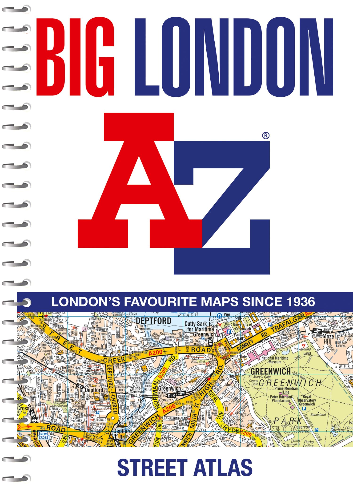
The mapping features transport connections, places of interest, public buildings, postcode districts, one-way streets, Congestion and Low Emission Zones This comprehensive street atlas of London also includes: An overview map of the Congestion Charging Zone - West End Theatre and Cinema maps - The London Rail & Tube Services Map • - London Underground maps A comprehensive index lists streets, selected flats, walkways and places of interest, place, area and junction names. Additional healthcare (hospitals, walk-in centres and hospices) and transport (National Rail, London Tramlink, Docklands Light Railway, London Underground and Overground stations, and River Bus pier) are indexed as well. Britain’s leading street map publisher providing cartographic services, digital data products and paper mapping publications (including Street Atlases, Visitors Guides, Great Britain Road Atlases and The Adventure Atlas).