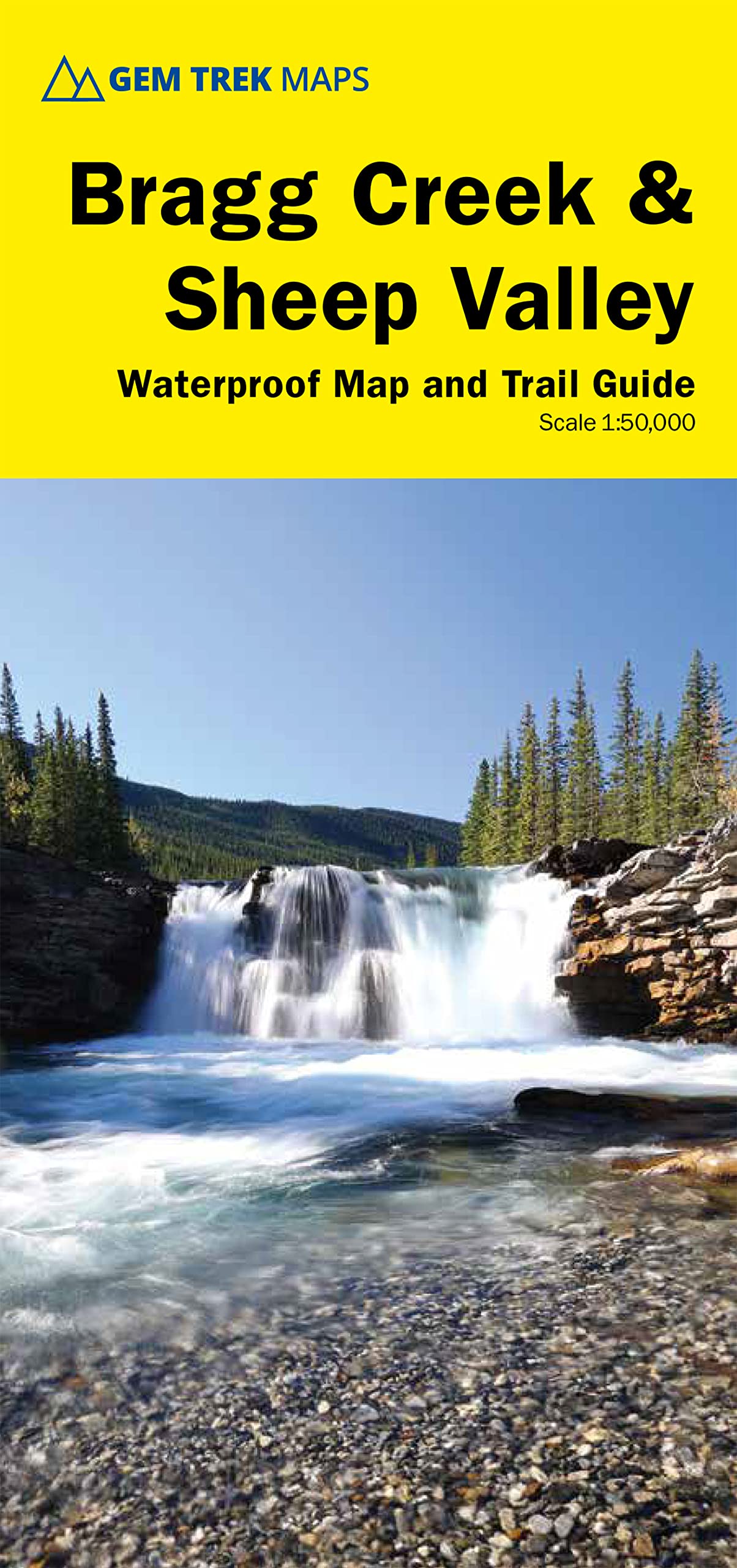
Waterproof and tear-resistant hiking and recreation map for the Bragg Creek and Sheep Valley regions of Kananaskis Country. Gem Trek's 1:50,000 Bragg Creek and Sheep Valley Map is designed for outdoor enthusiasts looking to explore the eastern portion of Kananaskis Country. Whether you are touring along the roads or heading into the backcountry, you’ll find this map to be an invaluable tool. The waterproof and tear-resistant Bragg Creek and Sheep Valley Map features detailed cartography, accurate hiking trails with distances, and details such as logging roads, campgrounds, equestrian routes, picnic areas, and fire lookouts. On the back are descriptions of the most popular hiking trails, as well as trip-planning information. Map specs Scale: 1:50,000 Folded size: 4.5 x 9.5 inches Flat size: 27 x 39 inches Paper: Waterproof and tear-resistant Edition: 6th Map Coverage The Bragg Creek & Sheep Valley Map covers a large chunk of the eastern portion of Alberta’s Kananaskis Country. The map centres on the Elbow Valley, which is accessed from the village of Bragg Creek. It extends coverage north from the Sheep Valley, where the Gem Trek Highwood & Cataract Creek Map leaves off, and extends as far north as Sibbald Flats, south of the Trans-Canada Highway. Popular hiking and biking trails covered on the Bragg Creek & Sheep Valley Map include Elbow Falls, Prairie Mountain, Fullerton Loop, Moose Mountain, Sulphur Springs, Nihahi Ridge, Powderface Ridge, Jumpingpound Ridge, Cox Hill, Sheep River Falls, Volcano Ridge, and Ole Buck Loop. The complete Elbow Loop Trail and the west end of the Sheep Valley is covered on a 1:100,000-scale inset map on the back of this map. Map Features The Bragg Creek and Sheep Valley Map features: - waterproof and tear-resistant paper - contour lines at 25-metre (80-foot) intervals - relief shading to better show the topography - full colour on both sides - hiking trails with trail names and trail distances marked - mountain biking and equestrian trails with trail names and distances marked - hydrology rivers, rapids and waterfalls - mountain names and all available mountain elevations - all campgrounds with a handy chart showing campground details - points of interest and attractions as well as picnic areas and highway viewpoints About Gem Trek Maps: With over 1,000,000 maps sold, Gem Trek Maps are the most trusted and popular maps available for the Canadian Rockies region of Canada. We use the latest in digital mapping technology to create a distinctive colour palette for shaded relief that gives a clear and accurate portrayal of topographic information and vegetation zones. A family-run company based in Banff, we employ local cartographers who know the region and we work closely with all land management agencies to fact-check and proof our maps, which are updated regularly. These are no ordinary maps. Made of waterproof and tear-resistant paper, they clearly show hiking, cross-country skiing, and mountain biking routes superimposed on superb topographical detail. Included on the back of the maps are detailed descriptions of selected routes showing distances, elevation gains, estimated times to complete the routes and difficulty ratings. ― Explore magazine Hands down, the best maps I’ve ever used. ― Trevor R., Amazon.com review There are maps, and there are maps, but there aren't many maps like these. Next time you go hiking, biking, skiing or riding in the Canadian Rockies, pick up a Gem Trek recreation map first. Best of all, they’re printed on waterproof paper. ― Westworld magazine Gem Trek offers the best maps for Canadian Rockies recreationists. ― Bed Gadd, author of Handbook of the Canadian Rockies. Gem Trek maps are of high quality, great to look at and contain lots of accurate, practical and up-to-date information. ― Bill Corbett, outdoor writer Just wanted to let you know that we stumbled across your maps in an outfitting store in Edmonton. We were so overjoyed with the quality of the one we bought, we drove back and bought another two for different areas. We sat down for hours just staring and learning all about the trails and mountains. It is so awesome! Thanks for the great work you did. ― Andrea L, Edmonton, Alberta Gem Trek’s beautiful and practical maps provide me just about everything I need to plan my visit to the Canadian Rockies. ― Kirby L, Federal Way, Washington I am an Honours student in Geography at Memorial University of Newfoundland. This past summer, I had a four-month position in Calgary. On my days off, I used your Banff & Mt. Assiniboine map. During four years of research and endless hours of cartographic work, I have analyzed many maps. I must congratulate you on the superior graphics and use of attractive colour incorporated into your design. In my opinion your maps are the best there are for the intended purpose. ― Peter H., St. John’s, Newfoundland Gem Trek Maps. Not Apps. ― Paul P., Calgary, Alberta My maps