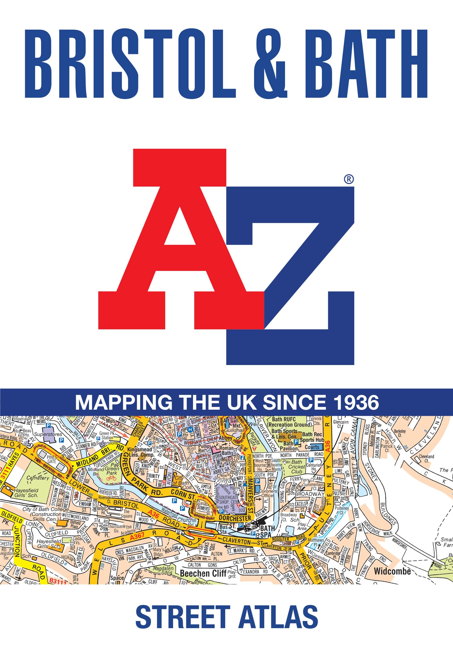
Navigate your way around Bristol and Bath with this detailed and easy-to-use A-Z Street Atlas. Printed in full color in a trade paper format, this atlas contains 96 pages of continuous street mapping, with large-scale maps at 4 inches to 1 mile. Coverage extends to Olverstone, Mangotsfield, Bitton, Batheaston, Bradford-on-Avon, Winsley, Keynsham, Backwell, and Avonmouth. Also included are large-scale city center maps of both Bristol and Bath, as well as a postcode map of the atlas area. Postcode districts, one-way streets, and safety camera locations (with maximum speed) are featured on the street mapping. A comprehensive index lists streets, selected flats, walkways and places of interest, plus place, area, and station names. Additional healthcare facilities (hospitals, walk-in centers, and hospices) and transport connections are indexed as well. A-Z Maps is one of the UK’s leading producers of mapping and cartographic products, known for its iconic London A–Z and trusted street atlases used by millions since the company’s founding in 1936. Now part of HarperCollins Publishers, A-Z Maps combines its long-standing expertise in detailed, easy-to-use cartography with Ordnance Survey data to create high-quality mapping for walkers, cyclists, and outdoor enthusiasts. The A-Z Adventure Series brings National Trails and other key routes to life through continuous OS mapping in a convenient, book-format atlas.