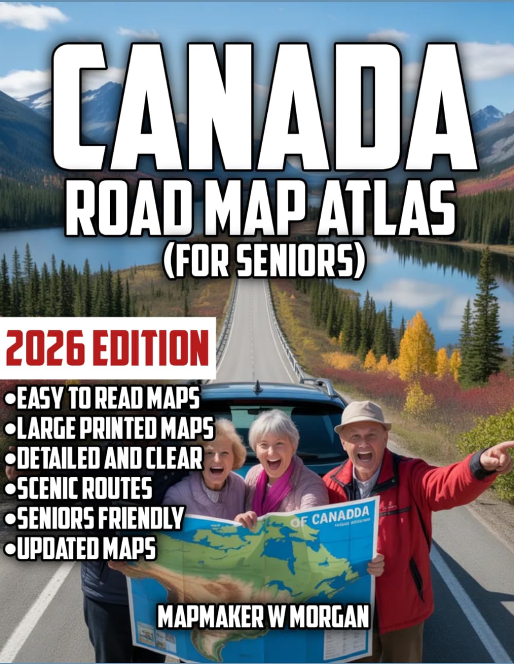
Canada Road Map Atlas 2026: Seniors: Age Is Just A Number: Explore The Breathtaking Landscapes, Cozy Campgrounds, and Hidden Treasures with Confidence
$26.61
by Mapmaker W Morgan
Picture yourself pulling off the highway, the Rockies rising in the distance, a quiet lakeside campground waiting just down the road — and you know exactly how to get there. That’s the peace of mind the Canada Road Map Atlas 2026 gives you. Canada Road Map Atlas 2026: Seniors is designed with you in mind. Age is just a number, and this guide makes exploring Canada’s vast beauty feel easy, comfortable, and joyful. No tiny print, no confusing apps — just clear, senior-friendly maps and practical details that help you travel at your own pace. Inside you’ll discover: - Large-print, easy-to-read maps of every province and territory, with bold highways, well-marked secondary roads, and city insets so you can navigate without straining your eyes - Scenic routes and breathtaking landscapes highlighted, from the Atlantic coastlines of Nova Scotia to the mountains of Banff and the tranquility of Vancouver Island - Cozy campgrounds, rest areas, and senior-friendly stops marked throughout, so you can plan comfortable breaks - Hidden treasures and iconic landmarks — charming small towns, historic sites, national parks, and viewpoints that make the journey as rewarding as the destination - Mileage charts and travel times between key locations, helping you plan relaxed days on the road - A clear index of cities and towns for quick reference, plus province overviews with tips on what to see What you’ll gain: Confidence behind the wheel, even without cell service. Comfort in knowing where to stop, rest, and enjoy the view. The freedom to explore Canada’s hidden gems at a pace that suits you. Whether you’re planning a long cross-country trip or a short regional adventure, this atlas turns planning into part of the pleasure. Grab the 2026 edition and let the road invite you to new experiences, one beautiful mile at a time.