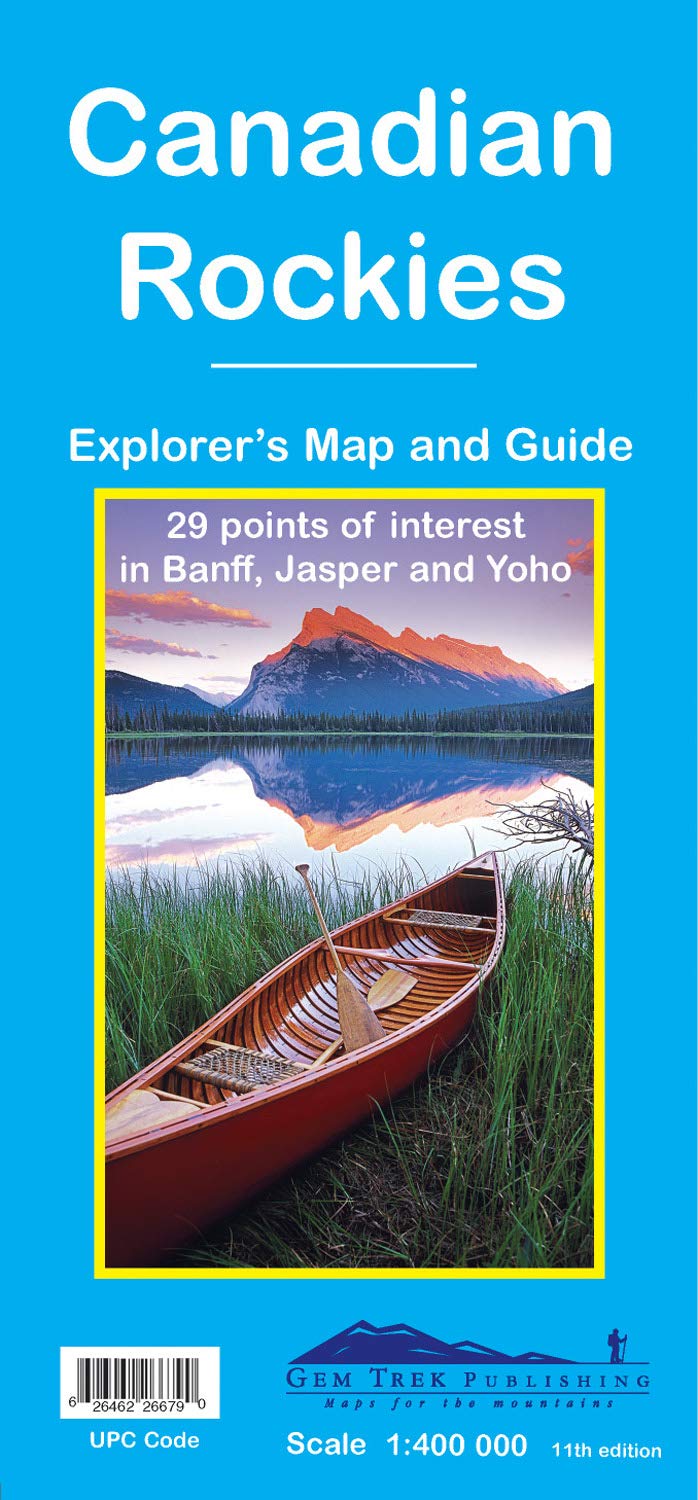
Gem Trek's Canadian Rockies Map is a must-have for anyone planning a trip to Banff, Jasper, Yoho, and Kootenay National Parks. Our bestselling map, the Canadian Rockies Map is the perfect compliment to our waterproof hiking maps. To make seeing the sights easier, 29 of the best points of interest in the parks are numbered and described. To help you find your way around, mountain lodges, campgrounds, hot springs, golf courses, ski resorts, day use areas, visitor centres and highway viewpoints are labelled. A mileage chart helps you plan your day by giving distances between major towns. On the back of the main map are street maps of Banff, Jasper, and Lake Louise. Inset maps of Western Canada and Calgary show major roadways, so you can easily find your way to the Canadian Rockies. In addition to street maps on the reverse side, we have included charts showing amenities at the national park campgrounds in Banff, Jasper, Yoho and Kootenay National Parks. – Map scale: 1:400,000 – Sheet size: 27 x 39 inches – Folded size: 4.5 x 9.5 inches Map Coverage Gem Trek's Canadian Rockies Map covers the four contiguous national parks of the Canadian Rockies: Banff, Jasper, Kootenay, and Yoho. Coverage extends beyond the national park boundaries to Hinton in the north, Glacier National Park in the west, Abraham Lake and Rocky Mountain House in the east, and Invermere and the Columbia Valley in the south. Map Features The Canadian Rockies Map includes: - relief shading to better show the topography - full colour on both sides - hydrology including rivers, rapids, glaciers, and waterfalls - mountain names and all available mountain elevations - all campgrounds with a handy chart showing campground details - points of interest and attractions as well as day use areas and highway viewpoints About Gem Trek Maps: Gem Trek was founded in the early 1990s with the publication of maps to the Kananaskis Country region of the Canadian Rockies. Today, with over 1,000,000 maps sold, we remain a vibrant, proudly independent map publisher specializing in producing Canadian Rockies maps. Our cartographers, writers, and photographers are all locals, who love the outdoors and enjoy the challenge of producing the very best maps possible. There are maps, and there are maps, but there aren't many maps like these. Next time you go hiking, biking, skiing or riding in the Rockies, pick up a Gem Trek recreation map first. Topo maps and guide in one, they feature along with roads, trails and the usual contour lines and mountain elevations points of interest; lodge, hostel and alpine hut locations; front- and backcountry campgrounds; viewpoints; relief shading; photos of flora, fauna and great views; trail tips; emergency numbers and trail descriptions. --Westworld magazine There are maps, and there are maps, but there aren t many maps like these. Next time you go hiking, biking, skiing or riding in the Rockies, pick up a Gem Trek recreation map first. Topo maps and guide in one, they feature along with roads, trails and the usual contour lines and mountain elevations points of interest; lodge, hostel and alpine hut locations; front- and backcountry campgrounds; viewpoints; relief shading; photos of flora, fauna and great views; trail tips; emergency numbers and trail descriptions. Best of all, they re printed on waterproof plastic. --Westworld magazine Gem Trek offers the best maps for Canadian Rockies recreationists. ― Bed Gadd, author of Handbook of the Canadian Rockies. Hands down, the best maps I’ve ever used. ― Trevor R., Amazon.com review Just wanted to let you know that we stumbled across your maps in an outfitting store in Edmonton. We were so overjoyed with the quality of the one we bought, we drove back and bought another two for different areas. We sat down for hours just staring and learning all about the trails and mountains. It is so awesome! Thanks for the great work you did. ― Andrea L, Edmonton, Alberta Gem Trek’s beautiful and practical maps provide me just about everything I need to plan my visit to the Canadian Rockies. ― Kirby L, Federal Way, Washington I am an Honours student in Geography at Memorial University of Newfoundland. This past summer, I had a four-month position in Calgary. On my days off, I used your Banff & Mt. Assiniboine map. During four years of research and endless hours of cartographic work, I have analyzed many maps. I must congratulate you on the superior graphics and use of attractive colour incorporated into your design. In my opinion your maps are the best there are for the intended purpose. ― Peter H., St. John’s, Newfoundland Gem Trek Maps. Not Apps. ― Paul P., Calgary, Alberta My maps arrived today and I must say, they are much nicer than I expected. I knew that Gem Trek was the final word in maps of the Canadian Rockies, but for some reason, expected the usual over-priced, gas station-quality maps we are accustomed to out here on the East Coast.