Canary Islands, La Gomera, Garajonay National Park, hiking maps: for hikers, travelers, photographers and nomads
$14.30
by Oleg Senkov
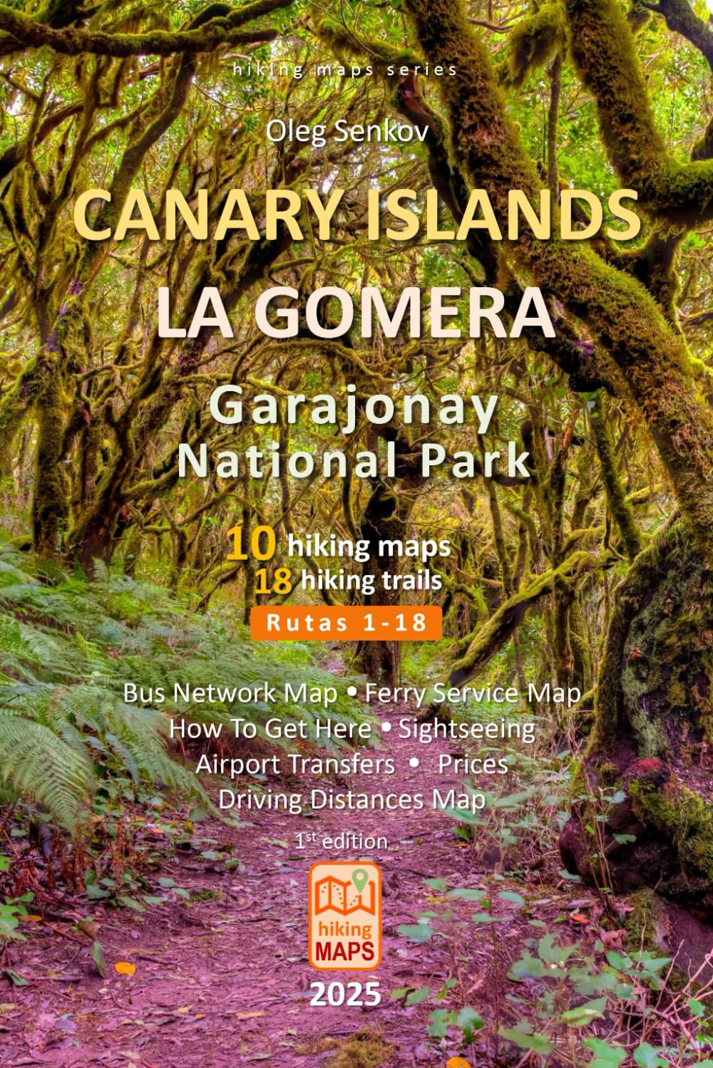
If you plan to visit Canary Islands for your holiday, – La Gomera Island with its national treasure, Garajonay National Park – is the must-to-explore spot in your itinerary. The park is famous for its unique humid subtropical Laurel jungles , where trees are fully covered with moss, making it looks like a fairytale enchanted forest from prehistoric time millions years ago. This travel guide with hiking maps will help you more efficiently planning your hikes in the park, how to commute in La Gomera by bus , ferry or a rented car , and how to get to Canary Islands by plane or ferry. The book contains 10 detailed hiking maps , depicting 18 most beautiful and adventurous main official trails ( Rutas 1 - 18 ), technical details for trails like distance (km and miles), hiking time , altitude elevation , gain and loss in altitude , visual altitude profiles , itinerary landmarks, complexity, GPS coordinates for major hiking trail marks. Plus, at the end of the book, I collect many useful and updated information for tourists: 1) overview for La Gomera Island, the national park, its main visitor centers and La Gomera’s capital San Sebastián; 2) complete bus network system in La Gomera with a route map, route stops, fare prices; 3) ferry service between multiple islands with maps, conditions and prices; 4) La Gomera map with driving distances ; 5) airport transfers maps in La Gomera and Tenerife. Hiking maps are topographic maps in color printed on high quality paper in a compact 6x9 in (15.2x22.8 cm), lightweight, robustly made book format, which can fit into any backpack and be easily used while you are hiking in the field or during planning, researching your hikes. S U M M A R Y 1) 10 topo hiking maps 2) 18 main trails (Rutas 1-18) 3) detailed technical information for each trail 4) how to get here by plane, ferry and fare prices, schedules 5) La Gomera bus and Canary Islands ferry network maps 6) La Gomera driving distances map 7) La Gomera and Tenerife airport transfers maps 8) web links related to the hiking trails and travel 9) GPS coordinates for the main trailheads 10) color printed inside on high quality paper, with a glance cover, compact 6x9 in (15.2x22.8 cm), lightweight, robustly made book format, which can fit into any backpack