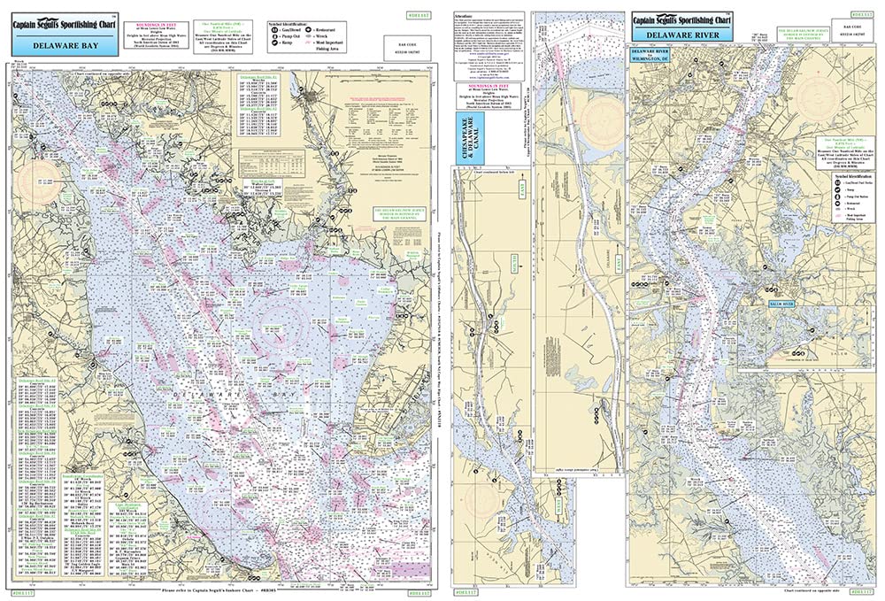
Captain Segull's Nearshore Delaware Bay Nautical Chart
$27.95
by Captain Segull's Sportfishing Chart
Laminated Fishing Chart Inshore Fishing Chart: An inshore chart 1-2 miles off the coast detailing the bays. Delaware Bay, Delaware River to Wilmington, DE C & D Canal. Double sided laminated fishing Chart. Shows fishing areas, wrecks, reefs, local names and amenities in GPS out to the thousandths of a minute. 19.5" x 26.5"