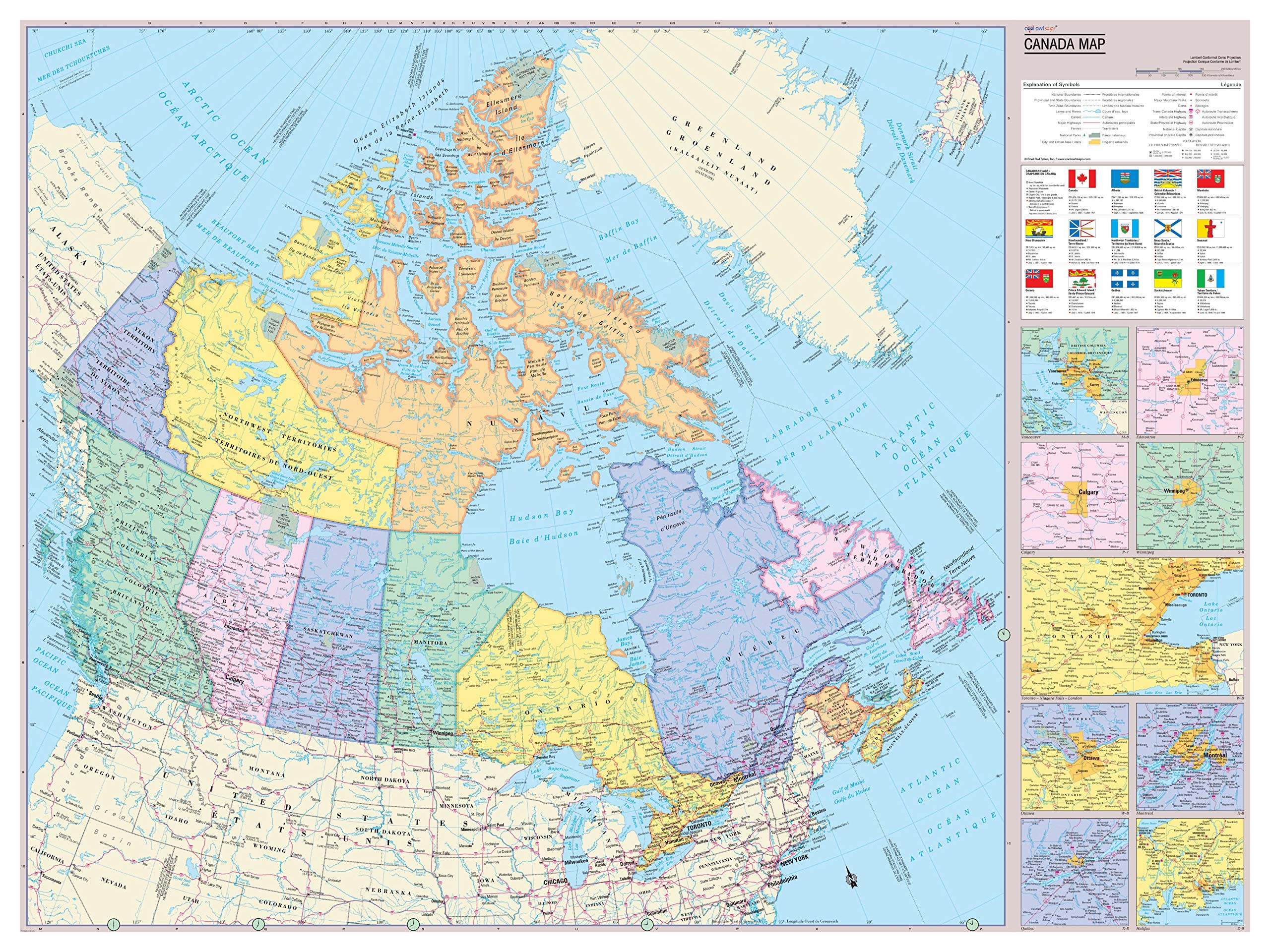
Province colors and banded boundaries Canadian Flags and province facts All digital cartography, Updated for 2021 Printed/Made in U.S.A. Unique, full color, and detailed this political map of Canada is bi-lingual (English & French) features geographic detail and accuracy. The map shows boundaries, place names, bodies of water, and more. Features insets of Calgary, Winnipeg, Montreal, Ottawa, Halifax, Toronto, Quebec, Vancouver, and Edmonton. All Canadian province flags and facts. All current 2018 country information. Perfect for Schools, Home, Office or Home Schooling.