Cool Owl Maps Pennsylvania State Wall Map Poster Rolled 34"Wx24"H (laminated)
$24.99
by Cool Owl Maps
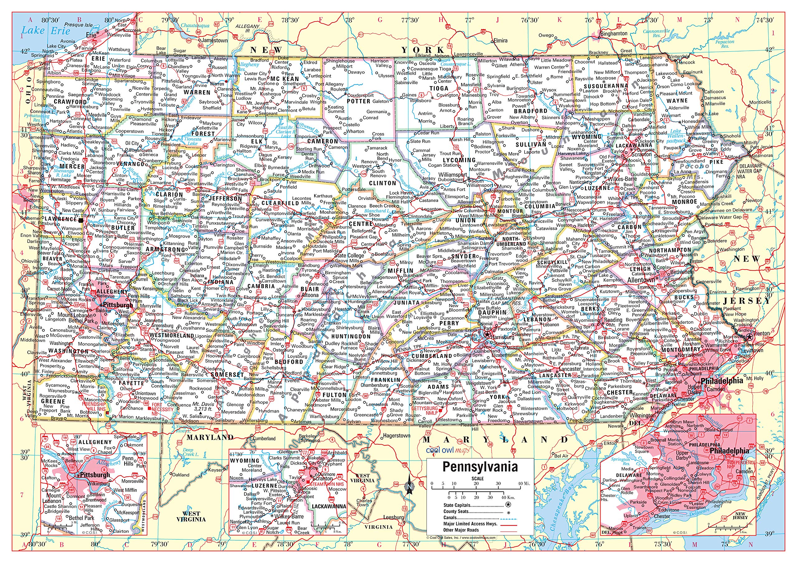
Large Print for easy reading Major Geographical features All counties and their capitals Size 34"W x 24"H inches (paper or laminated) Made/printed in U.S.A. 2020 Unique, color banded, this political LARGE PRINT map of PENNSYLVANIA state features geographic details. The map shows all county boundaries, county names with their capitals. Insets of Pittsburgh, Scranton, and Philadelphia area. Perfect for Schools, Home, Office or Home Schooling.