Cool Owl Maps Wisconsin State Wall Map poster 24" Wx30 H rolled paper.
$19.99
by Cool Owl Maps
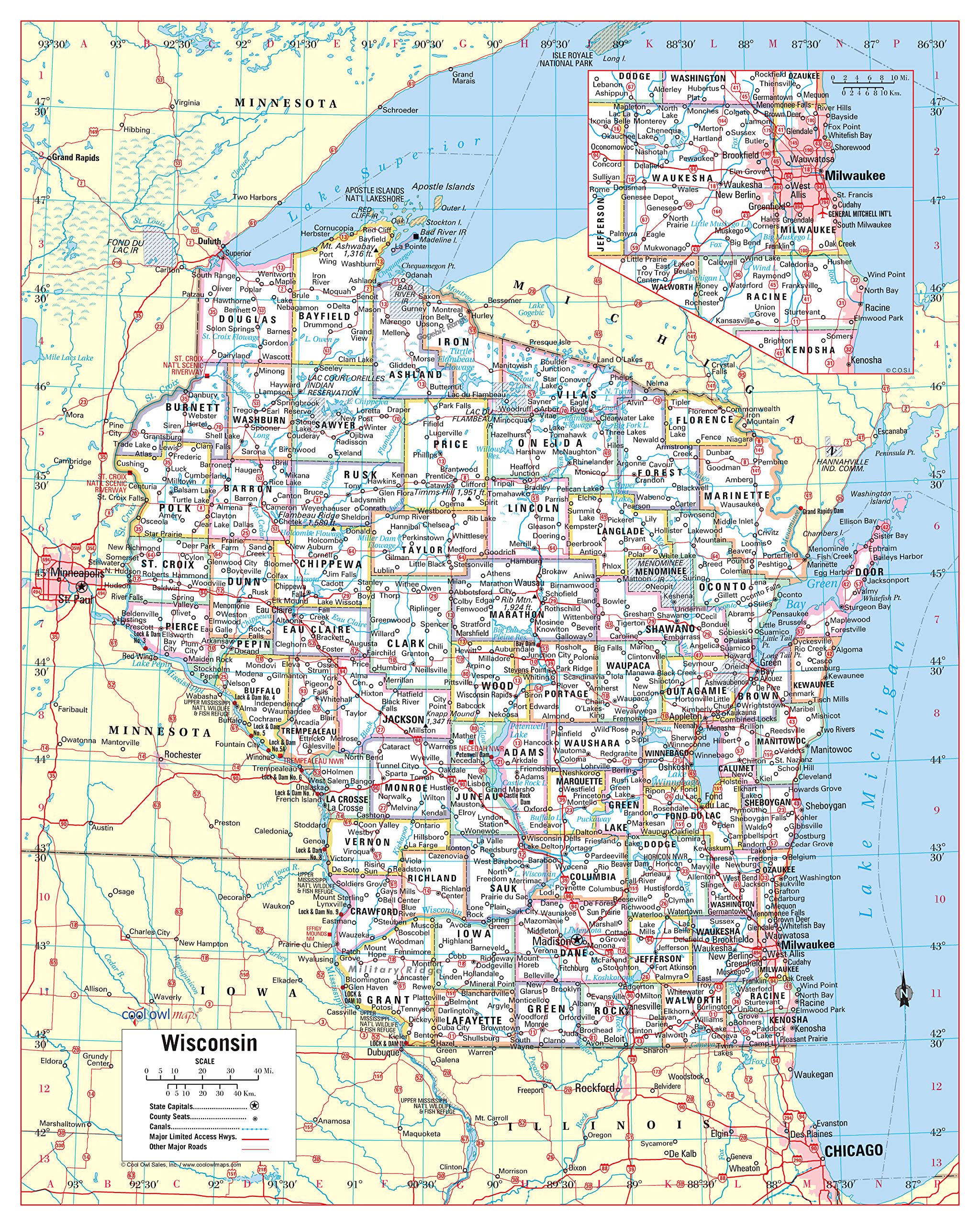
Large Print for easy reading Counties with banded boundaries - All counties and their capitals Major cities, selection of parks, monuments - Major Geographical features Major Limited Access Highways Made/Printed: In U.S.A. 2023 Unique, color banded, this political LARGE PRINT map of Wisconsin state features geographic detail and accuracy. The map shows all county boundaries, county names with their capitals.