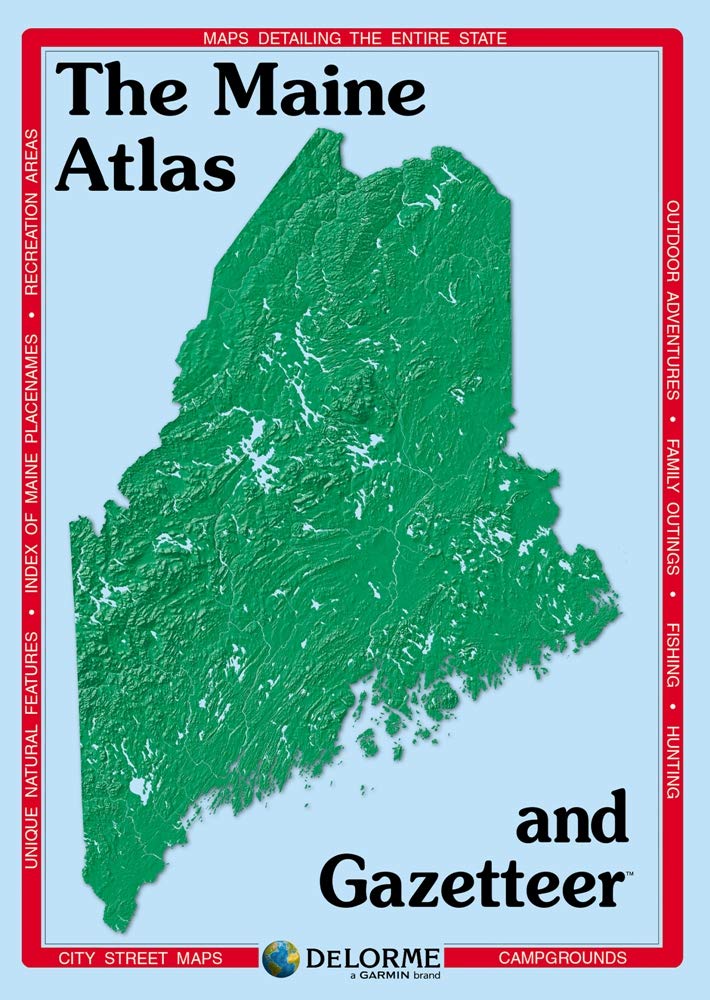
With an incredible wealth of detail, DeLorme's Atlas & Gazetteer is the perfect companion for exploring the Maine outdoors. Extensively indexed, full-color topographic maps provide information on everything from cities and towns to historic sites, scenic drives, trailheads, boat ramps and even prime fishing spots. Conveniently bound in book form, the Atlas & Gazetteer is your most comprehensive guide to Maine's backcountry. Full-color topographic maps provide information on everything from cities and towns to historic sites, scenic drives, recreation areas, trailheads, boat ramps and prime fishing spots Extensively indexed Handy latitude/longitude overlay grid for each map allows you to navigate with GPS Inset maps provided for major cities as well as all state lands Product Details Dimensions: 15.5" x 11" ISBN 1946494186 Amazingly detailed and beautifully crafted, large-format paper maps for all 50 states Topographic maps with elevation contours, major highways and roads, dirt roads, trails and land use data Gazetteer section contains information essential for any outdoor enthusiast, such as points of interest, landmarks, campgrounds, golf courses, historic sites, scenic drive recommendations and more (Note: available information varies by state) Perfect for sightseeing, exploring back roads, outdoor recreation and trip planning