Desolation Wilderness and the South Lake Tahoe Basin: A Guide to Lake Tahoe's Finest Hiking Area
$15.89
by Jeffrey P. Schaffer
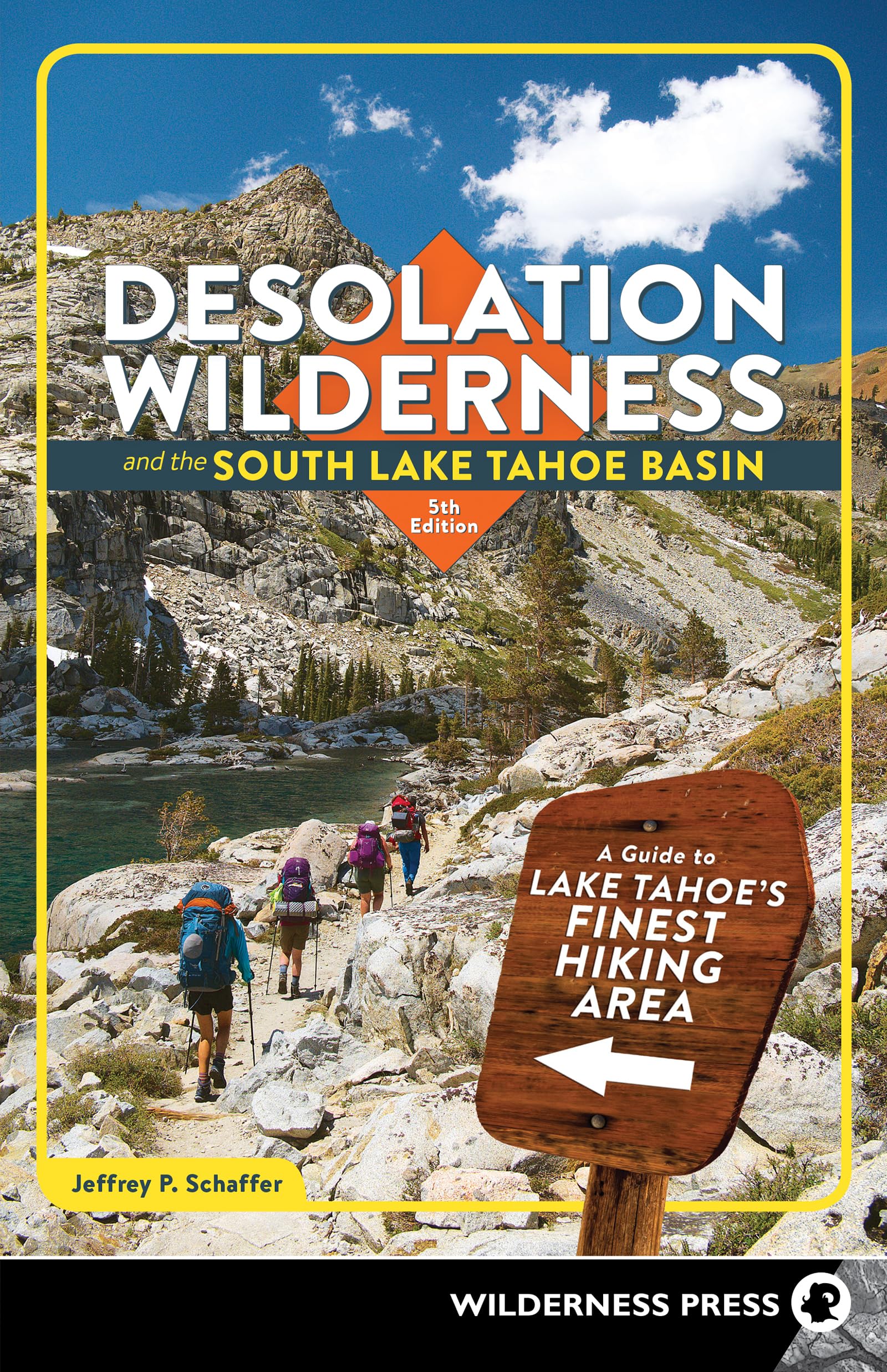
Your Guide to Northern California’s Spectacular Hiking Area Craggy mountain crests, dozens of hiking trails, and 130 lakes packed into 100 square miles of scenic beauty, Desolation Wilderness is one of the country’s most popular wilderness areas. It is minutes from Lake Tahoe and just a few hours from Sacramento and San Francisco. Explore the mountain landscape with hiking expert Jeffrey P. Schaffer. This comprehensive guide provides information on hiking, camping, wildlife, and natural history. It covers all of Desolation Wilderness, as well as Emerald Bay, the South Fork American River, and the Upper Truckee River. Written in cooperation with the federal Lake Tahoe Basin Management Unit, the guidebook has everything you need to plan your trip and to find your way in this unparalleled region. Inside You’ll Find Descriptions of 32 hikes, divided into four areas - Table of mileages to 80 trout-stocked lakes - Details on the terrain, lakes, animals, and vegetation - Tips on when and where to get permits, and how to enjoy your hike with minimal environmental impact - A list of the area’s campgrounds, arranged by trailhead locations - Full map of the region divided into seven sections “...everything needed to plan trips and find your way in the Desolation Wilderness.” ― Tahoe Daily Tribune Jeffrey P. Schaffer made his first backpacking trip in a 1962 traverse of the Grand Canyon, at age 19. The following year the climbing frenzy seized him, which lasted until about 1972, some 200 roped ascents later. In that year he began working on his first book for Wilderness Press, The Pacific Crest Trail. Between then and the late 1980s, he was the sole or principal author of 12 guidebooks, and he had mapped about 4,000 miles of trail for his books and topographic maps. Innumerable observations while hiking made him question conventional geological wisdom on the origin of mountain ranges, which led him to write a lengthy book on the origin of the Sierra Nevada landscapes, particularly Yosemite Valley. At the start of the millennium he was teaching geology and geography at Napa Valley College, introducing students to the Sierra Nevada and other lands. Wilderness Press books authored or coauthored by Jeff include Hiker’s Guide to the High Sierra: Yosemite and Tuolumne Meadows, Pacific Crest Trail: Southern California, Pacific Crest Trail: Northern California, The Pacific Crest Trail, Vol. 2: Oregon and Washington, Lassen Volcanic National Park and Vicinity, Yosemite National Park, Desolation Wilderness and the South Lake Tahoe Basin, The Tahoe Sierra, Hiking the Big Sur Country: The Ventana Wilderness, and The Geomorphic Evolution of the Yosemite Valley and Sierra Nevada Landscapes. Hike 10: Pacific Crest Trail to Lake Aloha Directions to Trailhead From the Highway 49 junction in Placerville, drive 5 miles east up Highway 50 to the Eldorado National Forest Information Center, located on Camino Heights Drive. Get your wilderness permit there, then continue 41 miles up to Johnson Pass Road. (Westbound drivers: this road is 1 1/4 miles west from Echo Summit.) This road climbs 0.6 mile east to a junction, where you turn sharply left and take the Echo Lakes Road 0.9 mile north to a large parking area, most of it on the south side of the road. Park here, not down at Echo Lake Resort. The southbound Pacific Crest Trail starts from the smaller north part of the parking area. The northbound trail starts from Lower Echo Lake’s dam, where day users usually can get wilderness permits. To reach this north trailhead, take a short steep trail northwest down to it, starting from the west end of the north part of the parking area. Introduction The trail from Lower Echo Lake to Lake Aloha may be the most heavily used one in the wilderness. Its popularity is due in part to its accessibility―just off Highway 50―to nearby summer homes and summer camps, and to the trail’s relative ease. At 7420 feet the trailhead is about 800 feet higher than other wilderness trailheads, hence the hiker has that much less elevation to gain. Also, hikers who take the Echo Lakes water taxi can subtract 2 1/2 miles from the above mileages. Hence only Clyde Lake, beyond Mosquito Pass, is more than 5 1/4 miles (or a couple of hours) away. And there are a dozen lakes that can be reached by easy cross-country hiking. No wonder the Echo Lake trailhead is so busy. Route Description To save 5.0 miles of round-trip hiking, take the Echo Lakes water taxi, operated by Echo Lake Resort. Since Pacific Gas and Electric Company owns the top 12 feet of the lake (because they’ve dammed it that high), they can lower the water by that amount, and by mid-September they usually do so. Then the lake reverts to its natural, upper-lower pair of lakes, and the taxi goes only to the peninsula separating the two lakes. You’ll still save 3.4 miles, round trip. The first part of Hike 10 is on a minuscule segment of the 2650-mile Pacific Crest Trail, which extends from the Canadian borde