Evolution of Territorial Michigan: 1792-1837 Through Postal History
$29.95
by Mr. Cary E. Johnson
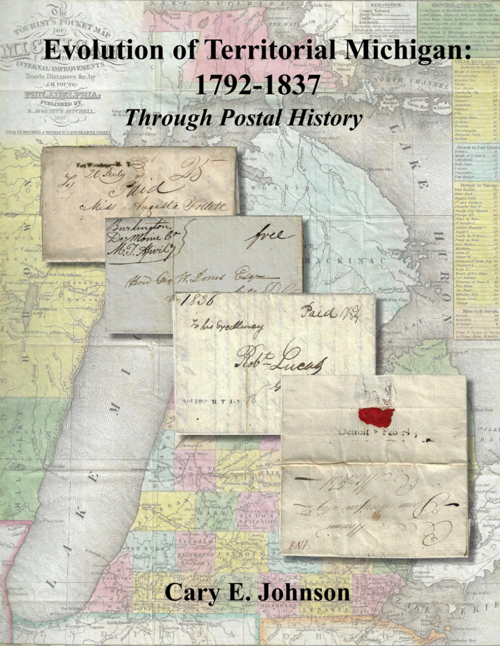
The first postal service in future Michigan Territory was established by the British Canadian post office in 1789 during the occupation of Detroit and begins our story as shown with the only recorded example in private hands of the 1792 Detroit straight line postmark . Although part of Northwest Territory as of 1787, the British continued to occupy Detroit until 1796. The first U.S. postal service in future Michigan Territory was a connection from Fort Detroit to Washington City via Fort Wayne, Fort Recovery and Fort Washington (Cincinnati) in 1803 . This service was preceded by the Military Express over the same route. Connections to Fort Dearborn, Illinois Territory, Fort Brady, Fort Saginaw, Fort Mackinac, Fort Crawford, Fort Winnebago, Fort Howard and Fort Snelling were primitive at best. Along these trails, the first territorial roads were established. The exhibit continues with the only recorded example of a Military Express letter carried from Fort Detroit (Detroit) while part of Northwest Territory in 1801 in the first established county (Wayne) in the future state of Michigan and progresses in chronologic order by county based on the date of each county’s first established post office. County growth with new settlements and post office openings generally followed the early military roads or connections to them beginning with the Old River Road from Detroit to Pt. Lawrence (Toledo) to connect to the eastern states, both inland and waterway connections to Fort Saginaw at Saginaw Bay, Fort Mackinac at Mackinac and Fort Brady at Sault Ste. Marie, first tier of counties (along Ohio-Indiana border) following the Chicago Military Road from Detroit to Chicago and the second tier of counties along the Detroit to St. Joseph Road. Post office openings in the future state of Wisconsin began with inland and waterway connections to Fort Howard at Green Bay and Fort Crawford at Prairie du Chien. Postal routes changed rapidly as new roads were built in the mid-1830s and not all towns included in the exhibit or the star routes connecting them to primary postal routes could be clearly shown on the hand-drawn maps. The largest town, Detroit, was not a designated distribution post office during the territorial period and therefore, eastbound mails from the western and southwestern towns were not necessarily directed through that office by the postmasters. The nearest distribution post office was Erie, Pennsylvania. After early 1830, eastern states’ mail was generally redirected southeast from Ann Arbor or Tecumseh to Port Lawrence (Toledo), Maumee, Lower Sandusky, Cleveland and Erie for routing to the final destination. Only three post offices established in unorganized territory (Dubuque Mines and Peru from the future state of Iowa and Fort Snelling from the future state of Minnesota) were attached to Michigan Territory on June 28, 1834 and separated with the formation of Wisconsin Territory on July 4, 1836. The vast expanse of Michigan Territory (all or parts of 6 states encompassing portions of 4 Great Lakes), and the midwestern location made it a strategic gateway to connect travel from east to west. Detroit rapidly became the jumping-off point for emigrants traveling by steamboat from eastern states and Europe via New York, the Erie Canal and Buffalo to establish new homes in Michigan Territory, Ohio, Indiana, Illinois and all points west. The establishment of new settlements necessitated the development of postal routes and services such that the evolution of Michigan Territory also provides an excellent overview of the evolving postal system in the United States as a whole. A significant border dispute (nearly a war) with Ohio created an unprecedented challenge to Michigan statehood that also affected the designation of the town postmarks either as Michigan Territory or Ohio.