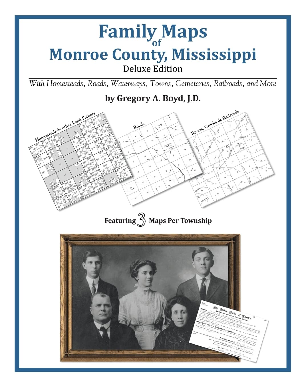
344 pages with 119 total maps Locating original landowners in maps has never been an easy task-until now. This volume in the Family Maps series contains newly created maps of original landowners (patent maps) in what is now Monroe County, Mississippi, gleaned from the indexes of the U.S. Bureau of Land Management. But it offers much more than that. For each township in the county, there are two additional maps accompanying the patent map: a road map and a map showing waterways, railroads, and both modern and many historical city-centers and cemeteries. Included are indexes to help you locate what you are looking for, whether you know a person's name, a last name, a place-name, or a cemetery. The combination of maps and indexes are designed to aid researchers of American history or genealogy to explore frontier neighborhoods, examine family migrations, locate hard-to-find cemeteries and towns, as well as locate land based on legal descriptions found in old documents or deeds. The patent-maps are essentially plat maps but instead of depicting owners for a particular year, these maps show original landowners, no matter when the transfer from the federal government was completed. Dates of patents typically begin near the time of statehood and run into the early 1900s. What's Mapped in this book (that you'll not likely find elsewhere) . . . 3727 Parcels of Land (with original landowner names and patent-dates labeled in the relevant map) 88 Cemeteries plus . . . Roads, and existing Rivers, Creeks, Streams, Railroads, and Small-towns (including some historical), etc. What YEARS are these maps for? Here are the counts for parcels of land mapped, by the decade in which the corresponding land patents were issued: Decade Parcel-count 1820s 346 1830s 244 1840s 2104 1850s 905 1860s 46 1870s 3 1880s 3 1890s 9 1900s 5 1910s 43 1920s 14 What Cities and Towns are in Monroe County, Mississippi (and in this book)? Aberdeen, Acker (historical), Ales (historical), Amory, Ashland (historical), Athens, Becker, Beeks (historical), Bennett Subdivision, Bigbee, Binford, Bolivar (historical), Bristo (historical), Bristow, Buttahatchie (historical), Camargo (historical), Carroll Subdivision, Cauhorn (historical), Central Grove, Central Park, Chestnut Subdivision, Coggin Subdivision, Colonial Acres, Coon Tail (historical), Corrine (historical), Cotton Gin Port (historical), Cotton Hill Gin Estates, Country Club Subdivision, Darracott, East Aberdeen, Easthaven, Evergreen, Flinn, Floyton (historical), Gardenspot Subdivision, Gattman, Gibson, Gladneyville (historical), Glenwood, Goose Pond (historical), Green Acres, Greenbrier (historical), Greenwood Springs, Grubb Springs (historical), Hamilton, Harmon Subdivision, Hatley, Hedgemoor, Highland Park, Hill Street Subdivision, Hillcrest, Jones Subdivision, Lackey, Lake Monroe East Subdivision, Lake Monroe West Subdivision, Lakewood, Lawrence (historical), Longview, Love Subdivision, McCluney (historical), Mormon Springs, Muldon, Murphree Subdivision, New Hamilton, New Wren, Parham, Parkview, Pinehurst, Piney Grove, Prairie, Quincy, Riggins, Rodgers (historical), Rye (historical), Sipsey Fork, Smithville, Splunge, Stanford, Strong, Sykes (historical), Tanglewood, Temperence Hill (historical), Terrells (historical), Tolar Subdivision, Tranquil, Tucker Place, Vassar (historical), Vasser, Walden (historical), Watkins Subdivision, Wesley (historical), Westville, Wildwood, Willcox (historical), Wise Gap, Woodcrest, Woodland Heights, Wren