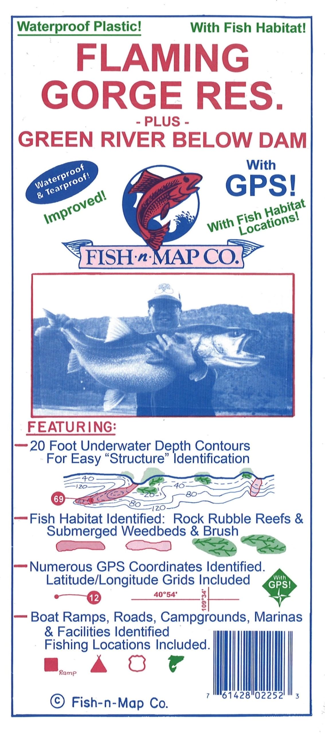
3' X 2' waterproof, tear-resistant map. Folds to 9" x 4". Fish-N-Map Company underwater topography maps are printed on a waterproof, tear-resistant material and are folded to 9" x 4". When opened, each map is approximately 3' x 2' in size and is printed on both sides. These maps feature waterproof plastic "paper"; underwater depth contours; fish locations; latitude and longitude for GPS; often multiple lakes on one map; boat ramps; recreational facilities; and much more. Updated February 2019 Fish habitat added (weedbeds, rock rubble reefs) Updated Fishing Locations and Fishing Strategy Roads Updated Now a multi-color map 2017 Updates: Updated Latitude and Longitude Grids and GPS values using NAD 83 for datum Map Features: NUMEROUS FISHING LOCATIONS with GPS COORDINATES PROVIDED 20 Foot Underwater Depth Contours for easy structure identification Major River Channel, Feeder Creeks and submerged roadbeds identified Boat Ramps, Roads, Campgrounds and Facilities Shown MADE IN THE U.S.A.