Five-Star Trails: Palm Springs: 31 Spectacular Hikes in the Southern California Desert Resort Area
$12.36
by Laura Randall
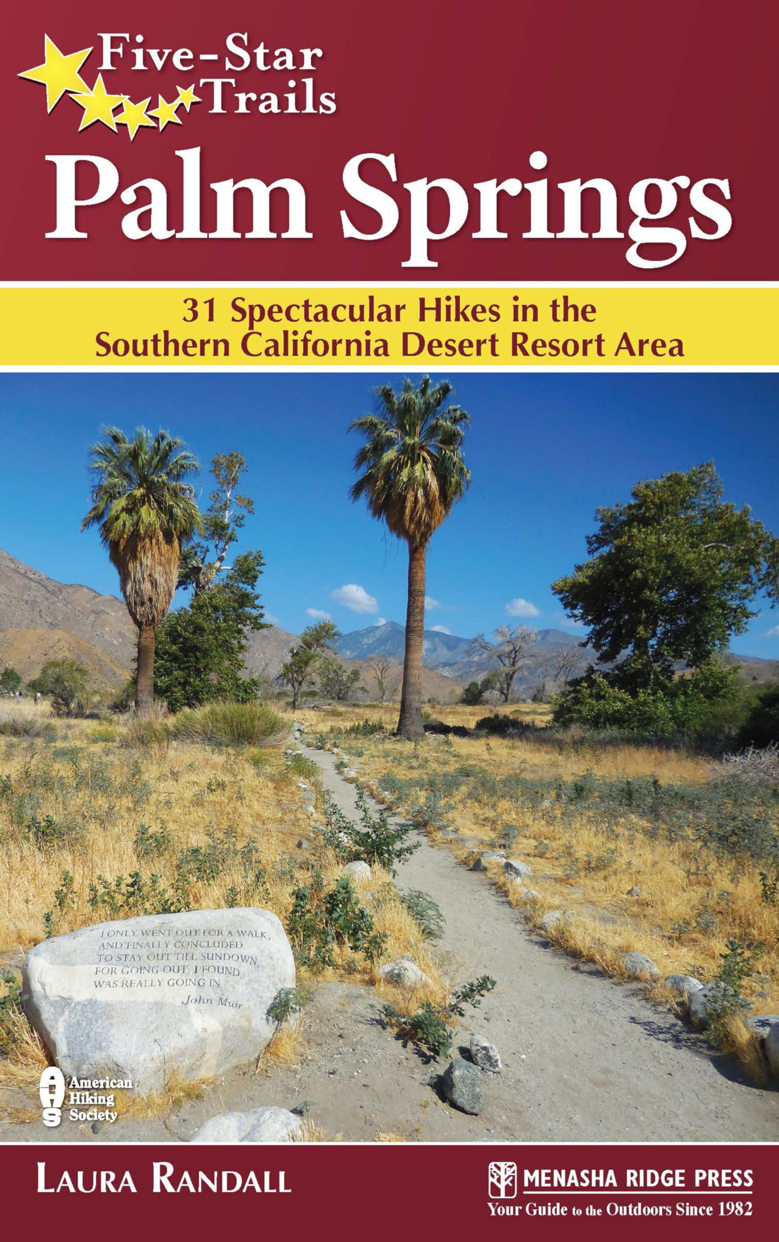
Lace Up, Grab Your Pack, and Hit the Trails in Palm Springs! A popular outdoor destination for the 7 million residents of Los Angeles, Palm Springs offers stunning hiking opportunities. With Joshua Tree National Monument to the east, the San Bernardino National Forest to the north and south, and the storied Pacific Crest Trail passing nearby, hiking expert Laura Randall has chosen the best hikes that highlight the area. Five-Star Trails: Palm Springs features child-friendly hikes and urban hikes that are easily accessible from resorts. Laura also includes hikes for the new Whitewater Preserve, as well as updated trails in La Quinta and Palm Desert. Extensive at-a-glance information makes it easy to choose the perfect hike based on length, difficulty, and scenery. Each trail profile includes maps, directions, driving times, nearby attractions, and other pertinent details. A native of suburban Philadelphia, Laura Randall lived in Washington, D.C., and San Juan, Puerto Rico, before moving to Southern California in 1999. Her byline can be found in a variety of newspapers, consumer magazines, and websites, including the Los Angeles Times, the Washington Post, and Sunset. Her other books for Menasha Ridge Press are 60 Hikes Within 60 Miles: Los Angeles and Peaceful Places: Los Angeles. She lives in Los Angeles. Andreas Canyon Trail Scenery: 4 stars Trail Condition: 4 stars Children: 5 stars Difficulty: 1 star Solitude: 2 stars GPS Trailhead Coordinates: N33° 45.653' W116° 32.976' Distance & Configuration: 1- to 3-mile loop Hiking Time: 40 minutes–1 hour Highlights: California fan palms, caves, unusual rock formations, year-round stream Elevation Gain: 285' Access: Open daily 8 a.m.–5 p.m. October–June, Friday–Sunday July–September. Admission: $9 per adult/$5 per child ages 6–12, payable at front gate. Maps: Detailed maps are posted at kiosks throughout the property and available at the entrance station and the Trading Post in Palm Canyon. Facilities: Restrooms and picnic tables along the trail Wheelchair Access: None Comments: No pets or bikes on trails. Gates close at 5 p.m., and no vehicles are allowed in after 4 p.m. Contacts: 714-323-6018, indian-canyons.com Overview This short, scenic loop should be a part of any trip to the Indian Canyons. It’s especially good for families, bird-watchers, and anyone who wants to experience the serenity of the canyons in a short period of time. The well-marked path leads past sheer rock walls and a year-round stream shaded by California fan palms to a seasonal waterfall and 1925 clubhouse once used by local hunters, then gives way to wide-open desert landscape. Though the best scenery can be found along the main 1-mile loop, the hike can be extended by 2 miles by picking up the easy horse trail on the north side of the road just before the parking lot entrance. Route Details The Indian Canyons, just south of downtown Palm Springs, are desert oases and the ancestral home of the Agua Caliente band of Cahuilla Indians. The area boasts year-round waterfalls, rocky canyon streams, and some of the largest collections of California fan palm oases in the world. More than a dozen trails of all levels snake through the canyons and connect to trails in Palm Springs and as far away as Idyllwild. Remnants of ancient life, such as irrigation ditches, stone shelters, and rock art, can be found along many of the trails. The entrance fees prohibit the area from being a regular hiking venue for area residents, but it’s worth a visit at least once for anyone who wants to combine a hike with pristine desert landscapes and insights into an ancient culture. Look for the Andreas Canyon trailhead at the north end of the parking lot, just past a cluster of large rock formations. There is a sign on the right just before the trailhead that marks an Indian grinding mortar. The Cahuilla Indians used the bedrock mortars in front of you to grind mesquite beans, acorns, and wild oats. Follow the packed sand-and-rock trail down a gradual hill past more rock formations. The stream, shaded by oaks, palms, and other trees, is to your left. This is a great place for kids to splash around and boulder-hop, especially in summer and fall, when water levels are low. In the fall, the leaves on some of the trees turn bright yellow and orange, making a nice contrast to the lush green palm trees. The trail continues flat between the stream and towering rock formations. At 0.25 mile, pass a signpost for Andreas Canyon and take the path under a natural arch made of desert scrub brush. Continue straight along the flat trail, with the stream to your left. Soon the trail makes a brief ascent, then descends some natural rock steps and comes within touching distance of more California fan palms before hugging a sheer rock wall. Look for a small cave on the right―the Cahuilla Indians once used this and other small caves in the area for shelter. At almost 0.5 mile, the stream gives way to a pretty waterfa