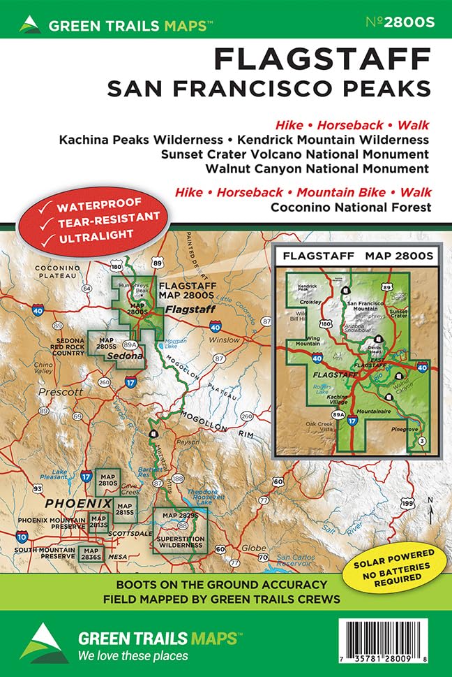
Green Trails Maps show the most current trail, road, and access information to national forests, national parks, state and local parks and other public lands. On the edge of the Colorado Plateau this NEW map covers of the extensive San Francisco Peaks trail network and the surrounding urban trail system of Flagstaff. Epic trails up the highest Peak in AZ and down to Native Cliff dwellings, around ancient stratovolcanoes along lush pine canyons await. Year-round multi-use adventures on foot, bike or horse await in this outdoor lovers paradise. Printed on a rugged Waterproof - Tear Resistant Sheet.br> Map Scale 1:63,360. Reprinted 2023. Based in Seattle since its founding in 1973 by Walt Locke as the first publisher of high-quality recreational topographical maps to Washington State, Green Trails Maps publishes more than 150 titles for the most spectacular mountain, beach and desert areas North America. Green Trails Maps show the most current trail, road, and access information to national forests, national parks, state and local parks and other public lands, and are favored by hikers, climbers, cross-country skiers, horseback riders, hunters, anglers, mountain biker riders and search and rescue groups and recommended by the most venerable and respected climbing guides.