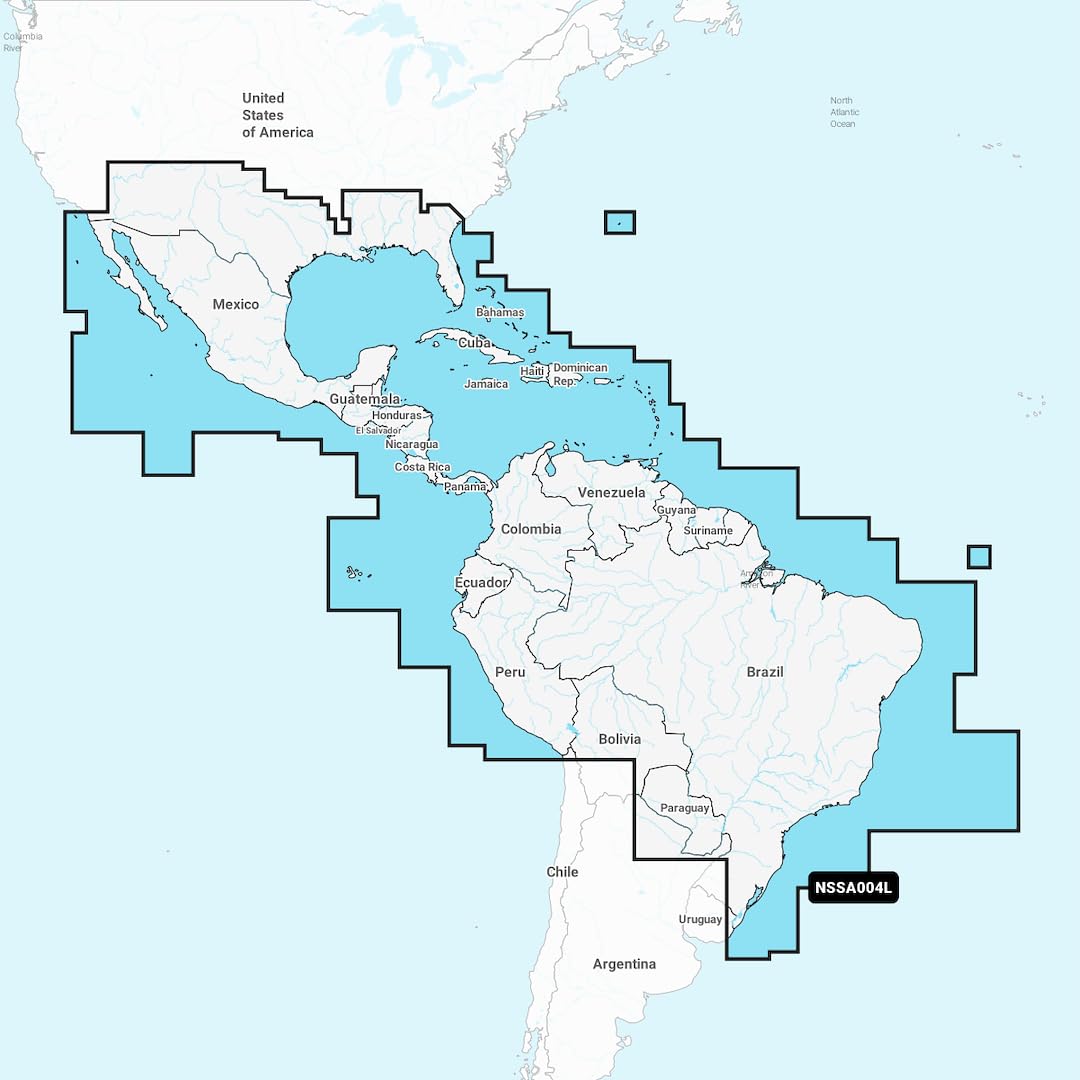
Comprehensive Mapping Solution - Explore detailed coastal, lake, and river maps. Integrated Garmin and Navionics content caters to boaters globally Regular Chart Updates - Enjoy daily enhancements and amendments, with up to 5,000 updates daily. One-year subscription included for ActiveCaptain app access Enhanced Routing with Auto Guidance+ - Blend Garmin and Navionics automatic routing for suggested paths through channels, inlets, and marina entrances Detailed Depth Range Display - Select from 10 color-shaded options to view target depths clearly Precise Contour Mapping - Up to 1" contours for improved fishing and navigation, offering clear bottom structure depiction Customizable Shallow Water Shading - Define depths for clear shallow water avoidance ActiveCaptain Community Insights - Community-driven POIs offer useful marinas, anchorages, hazards, and businesses, with firsthand boater recommendations Experience the world's top marine mapping with the latest Navionics+ cartography on your compatible chartplotter. The Navionics+ NSSA004L - Mexico, the Caribbean to Brazil - Inland & Coastal Marine Chart offers vibrant colors, a sleek interface, and combined coastal/inland content.