Geomorphic Response of the Sandy River, Oregon, to Removal of Marmot Dam
$17.99
by U.S. Department Of The Interior
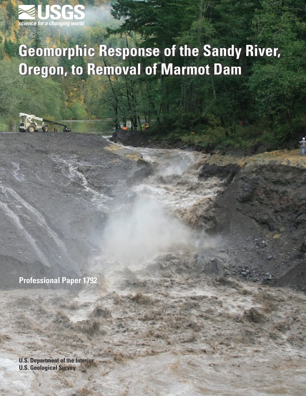
The October 2007 breaching of a temporary cofferdam constructed during removal of the 15-meter (m)-tall Marmot Dam on the Sandy River, Oregon, triggered a rapid sequence of fluvial responses as 730,000 cubic meters of sand and gravel filling the former reservoir became available to a high-gradient river. Using direct measurements of sediment transport, photogrammetry, airborne light detection and ranging (lidar) surveys, and, between transport events, repeat ground surveys of the reservoir reach and channel downstream, we monitored the erosion, transport, and deposition of this sediment in the hours, days, and months following breaching of the cofferdam.