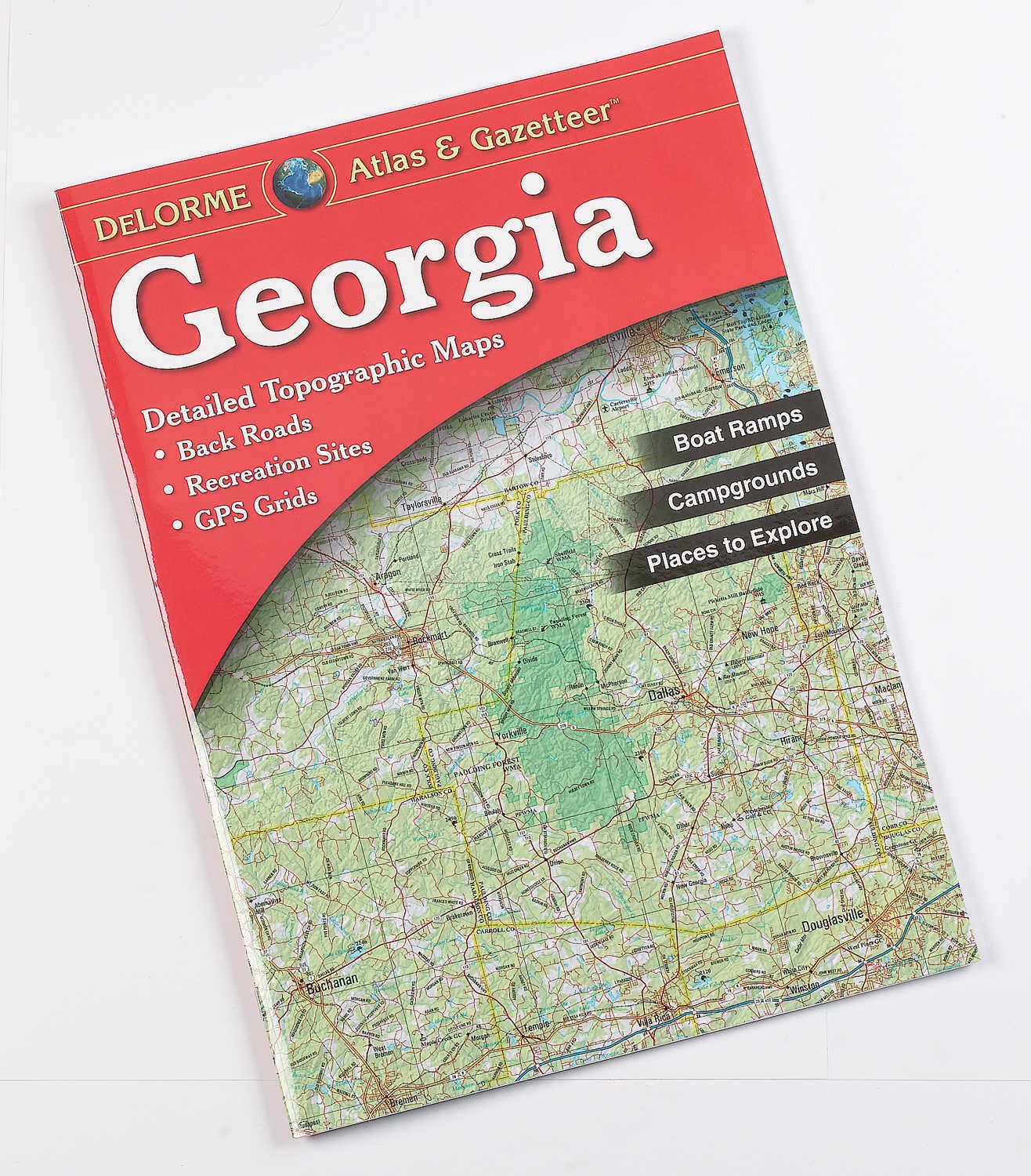
With an incredible wealth of detail, DeLorme's Atlas & Gazetteer is the perfect companion for exploring the Georgia outdoors. Extensively indexed, full-color topographic maps provide information on everything from cities and towns to historic sites, scenic drives, trailheads, boat ramps and even prime fishing spots. With a total of 48 map pages, the Atlas & Gazetteer is your most comprehensive navigational guide to Georgia's backcountry. Full-color topographic maps provide information on everything from cities and towns to historic sites, scenic drives, recreation areas, trailheads, boat ramps and prime fishing spots Extensively indexed Handy latitude/longitude overlay grid for each map allows you to navigate with GPS Inset maps provided for major cities as well as all state lands DeLorme has been directly responsible for many of the major technological advances made in the mapping industry over the past 30 years. Includes Back roads, elevation contours, recreational areas, etc. Paperback for easy carry and storage Easy to use and read