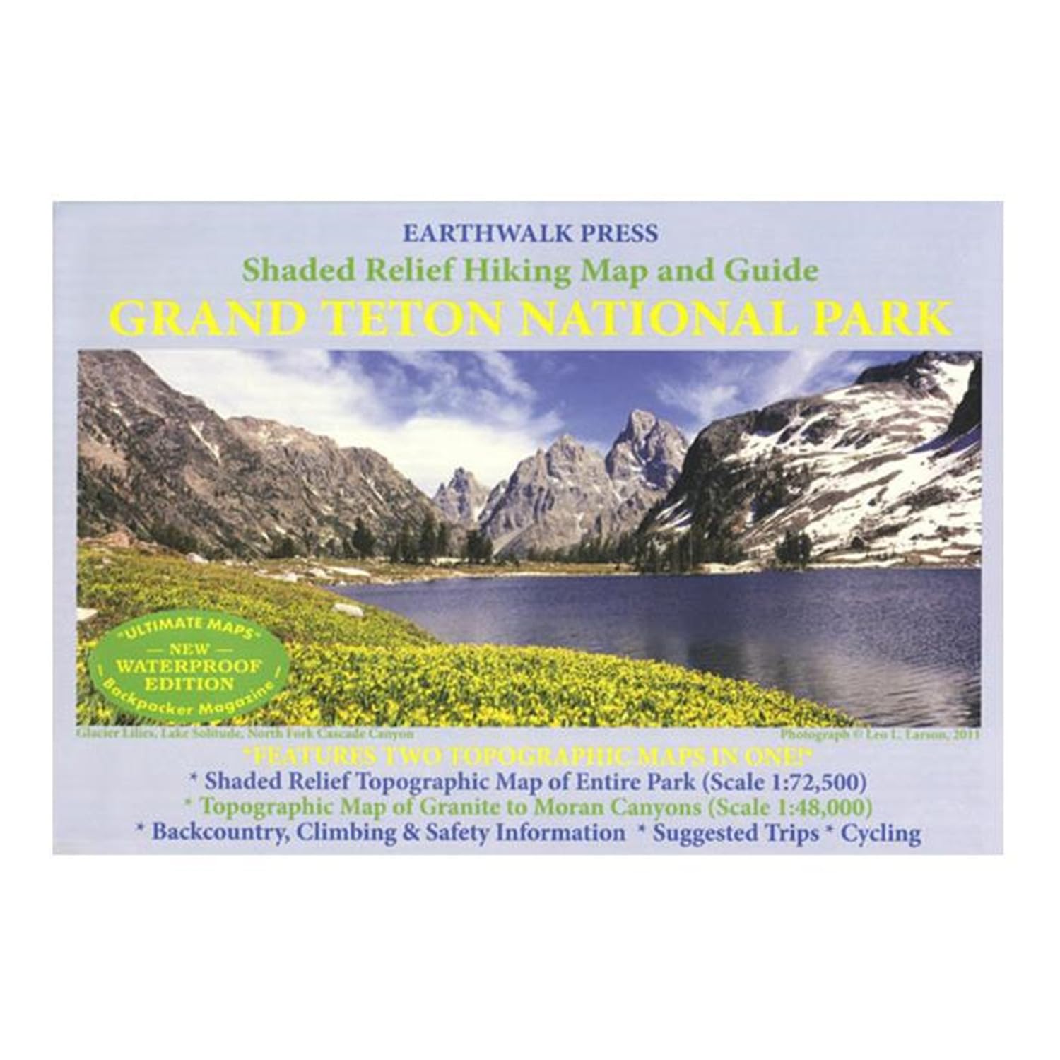
Shaded Relief Hiking Map and Guide of Grand Teton National Park, WY. Shaded Relief Topographic Map of the Entire Park (Scale 1:72500) Topographic MAp of Granite to Moran Canyons (Scale 1:48000) Backcountry and climbing regulations, trail milege and suggestions of how to enjoy your visit with minimum impact into the delicate park ecology. Printed on waterproof and tear resistant material. Earthwalk Press Grand Teton NP Hiking Map & Guide by Earthwalk Press - 06-5WP