Greater Yellowstone & Grand Teton Recreation Atlas & Guide - 2nd Edition, 2026
$24.95
by Benchmark Maps
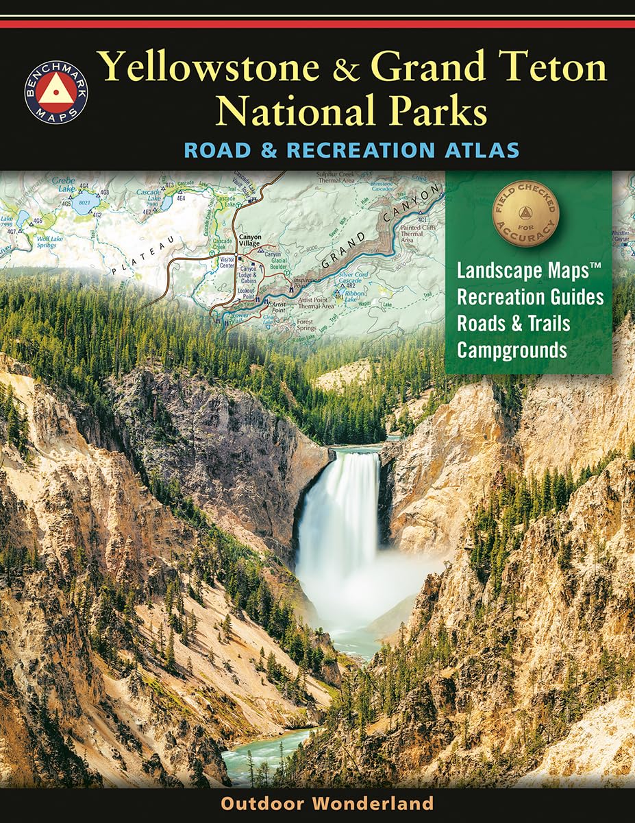
Benchmark Maps partnered with the University of Oregon's Department of Geography's InfoGraphics Lab to develop a new recreation atlas that complements their title Atlas of Yellowstone. The result was this specialty recreation atlas and guide for Greater Yellowstone and Grand Teton. Features Include: a map and guide to National Parks & Monuments in the western United States; 12-page recreation guide with detailed listings of regional and park resources, campgrounds, RV parks, natural wonders, museums, trails, fishing access points, boat ramps, ski areas, and rest areas; recreation maps with public lands detail for the three-state region, with road mileages; landscape maps with geographic detail from Atlas of Yellowstone and recreation detail from Benchmark's series of field-checked Road & Recreation Atlases for the 11 Western States. In 1995, three respected mapping firms collaborated on a vision they shared for a new line of state road atlases. The result was Benchmark Maps: a partnership that would apply the unique talents of each company to produce atlases with an entirely new kind of look and presentation. These new atlases would combine strikingly beautiful Landscape MapsTM with data collection of unequaled accuracy and detail. Since our beginning, around 3 million Benchmark maps and atlases have been purchased by discriminating map users from all over the world. It s not unusual for us to hear from people who have purchased a copy of every one of our atlases.