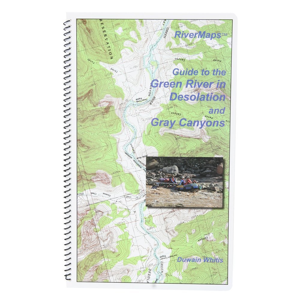
Each map is oriented so the river flows upward on the page No more turning your map upside down or twisting your head to read it Printed on water-resistant paper specially made for all-weather use The maps measure 8-1/2 x 14 inches much larger than most river guide books Spiral binding and stiff covers that make them lay flat and easy to use RiverMaps map books "go with the flow". Each map is oriented so the river flows upward on the page. No more turning your map upside down or twisting your head to read it. RiverMaps map books are printed on water-resistant paper specially made for all-weather use. The maps measure 8-1/2 x 14 inches - much larger than most river guide books. The books have spiral binding and stiff covers that make them lay flat and easy to use. RiverMaps map books are printed with USGS 7. 5' topographic maps as the background at the original map scale of 2,000 feet per inch. Additional information is added for river runners, including river mileage, campsites, rapids, and other features of interest. These maps provide more information to river runners who want to see more of the river corridor. Theyre great for planning side hikes!