Guide Map to Lake Powell and Glen Canyon National Recreation Area
by North Star Mapping
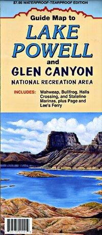
North Star produces city, state, and recreation maps for the central & southwest United States. North Star Mapping Guide Map to Lake Powell and Glen Canyon National Recreation Area features the Glen Canyon National Recreation Area on the obverse side of the map. Inset on the obverse is the legend, detail map of Bullfrog Bay featuring Bullfrog Marina and Hall's Crossing Marina, and a general information sidebar about climate and weather, roads, Lake Powell water levels, and archaeological sites and side canyons.
The Legend for the obverse side of the map shows highways and roads (including US highways, state highways, Indian reservation routes, improved unpaved roads, and 4-wheel-drive roads), point-to-point road milages, rivers, cities and towns, national recreation areas, national monuments, national forests, natural bridges and arches, points of interest, campgrounds, hiking trails, mines, airports, landing strips, marinas, uplake milages from Glen Canyon Dam, side canyon mileages from Lake Powell main channel, buoys, lighted buoys, and floating restrooms.
The reverse side of the map features a Lake Powell map, a Page, Arizona map, a Wahweap Marina & Vicinity map featuring Stateline Marina and Wahweap Marina, buoys & markers illustrated chart, Lake Powell Marinas & Facilities chart, and sidebars covering The Canyon and the Lake, Regulations & Safety, and Boating Safety.
Two-sided, self-cover, paper folded map.
Size: 4" × 9" folded; 31.5" × 18" unfolded