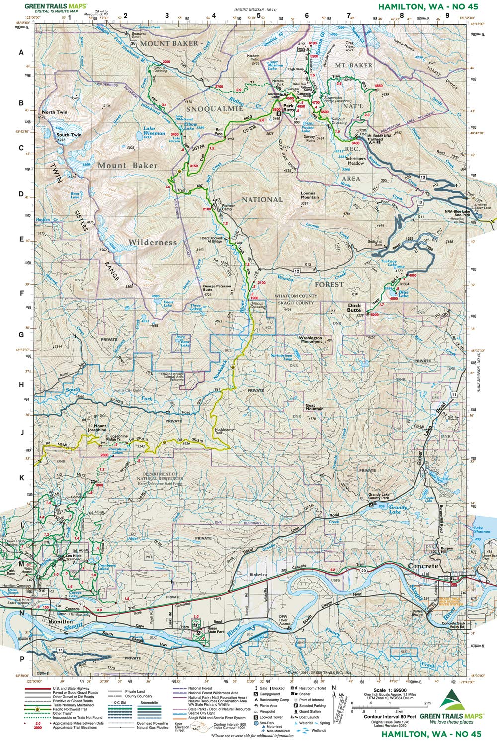
Original Issue Date 1976; Latest Revision 2020 Green Trails Maps show the most current trail, road, and access information to national forests, national parks, state and local parks and other public lands. Mount Baker-Snoqualmie National Forest Mount Baker Wilderness Harry Osborne State Forest Mount Baker National Recreation Area Park Butte Railroad Grade Rasar State Park CLICK HERE to search all maps via Green Trails interactive map feature. Based in Seattle since its founding in 1973 by Walt Locke as the first publisher of high-quality recreational topographical maps to Washington State, Green Trails Maps publishes more than 150 titles for the most spectacular mountain, beach and desert areas North America. Green Trails Maps show the most current trail, road, and access information to national forests, national parks, state and local parks and other public lands, and are favored by hikers, climbers, cross-country skiers, horseback riders, hunters, anglers, mountain biker riders and search and rescue groups and recommended by the most venerable and respected climbing guides.