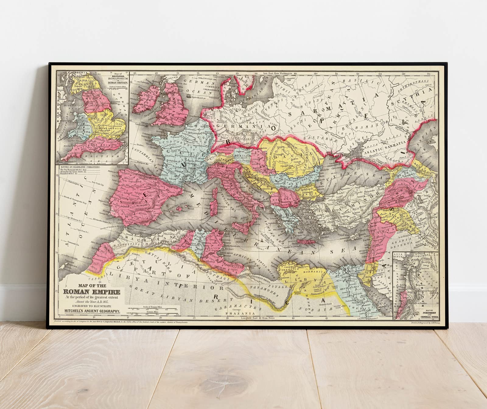
Historic Map - Map of the Roman Empire at the period of its greatest extent about the year A.D. 107, 1875 Classical Atlas - Vintage Wall Art - 24in x
$33.99
by Historic Pictoric
VINTAGE MAP REPRODUCTION: Add style to any room's decor with this beautiful decorative print. Whether your interior design is modern, rustic or classic, a map is never out of fashion MUSEUM QUALITY INKS AND PAPER: Printed on thick 192gsm heavyweight matte paper with archival giclee inks, this historic fine art will decorate your wall for years to come ARTWORK MADE TO ORDER IN THE USA: We make each reprint only when you order it. Every antique map is edited for image quality, color and vibrance, so it can look its best while retaining historical character. Makes a great gift! FRAME READY: Your unframed poster ships crease-free, rolled in a sturdy mailing tube. Many maps fit easy-to-find standard size frames 16x20, 16x24, 18x24, 24x30, 24x36, saving on custom framing Watermarks will not appear in the printed picture. Old maps sometimes have blemishes, tears, or stamps that may be removed from the final print Map of the Roman Empire at the period of its greatest extent about the year A.D. 107. Engraved to illustrate Mitchell's ancient geography. (with) Map of Britannia Romanorum or Roman Britain. (with) Map of northern and Central Syria. Drawn & engraved by J.H. Young. Entered ... 1844, by S. Augustus Mitchell ... Eastern District of Pennsylvania. (1875)
Mitchell's ancient atlas, classical and sacred, containing maps illustrating the geography of the ancient World, as described by the writers of antiquity; also, the political divisions, cities, towns, places distinguished by remarkable events ... As determined by modern observations; together with a table of the corresponding ancient and modern names of the places engraved in the maps. The whole accompanied by a descriptive geography, embellished with numerous engravings of remarkable events, views of important cities, noted structures, and various interesting antique remains. By S. Augustus Mitchell. Philadelphia: Published by J.H. Butler & Co. For sale by the booksellers throughout the United States. 1875.
Publisher:J.H. Butler & Co.