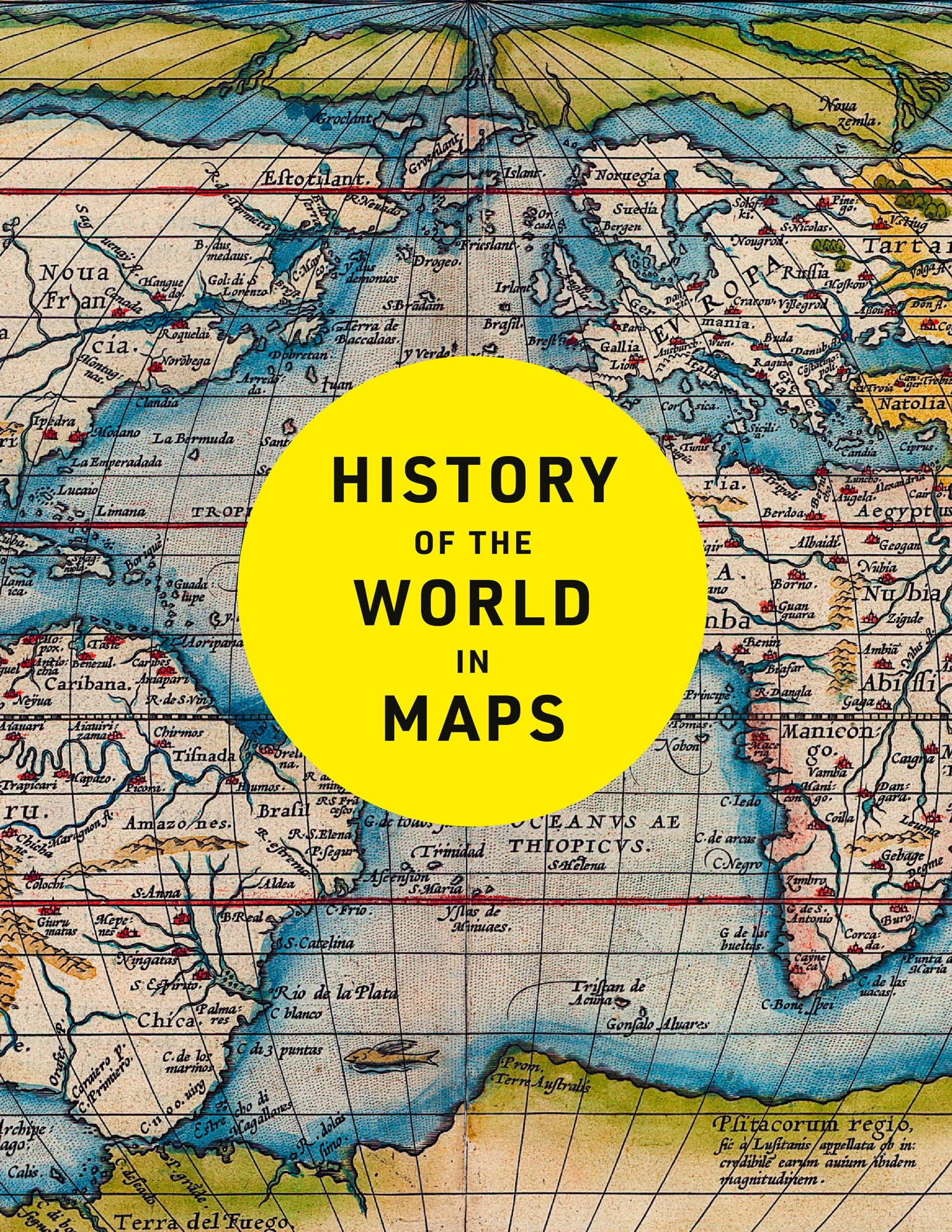
History of the World in Maps: The Ultimate Cartographic Exploration of Our Past
$44.99
by Philip Parker
Every map tells a story—and this book tells the incredible history of our world through maps. From Babylonian clay tablets to cutting-edge digital maps, the world has changed dramatically over the past 4,500 years—and so has the way we record and understand it. Cartography has not only reflected these changes but often shaped them, driving exploration, discovery, and global understanding. This fully revised and updated edition brings together a stunning collection of maps that reveal the evolution of human knowledge, society, and geography. From ancient civilizations to the modern world, each map offers a unique visual insight into a moment in time—showing countries and cities rising and falling, empires expanding and collapsing, and the defining events that shaped history. Key maps featured include: Babylonian clay tablets (c. 2300 BC and c. 600 BC) — among the world’s oldest surviving maps - Hereford Mappa Mundi (c. 1290) — a remarkable medieval map of the world - Aztec City Maps (1524/1541) — rare images of the Aztec capital before Spanish conquest - Cook’s Chart of New Zealand (1770) — the first complete map of both islands - Selden Map of China (c. 1620) — Ming-era depiction of China and Southeast Asia - The Scramble for Africa (1852/1898) — colonial powers race to divide the continent - Booth Poverty Map (1898) — mapping deprivation in Victorian London - Ypres (1918) — showing the toll of one of WWI’s bloodiest battles - Cuban Missile Crisis (1962) — map used by President John F. Kennedy - COVID Map (2021) — global impact of the pandemic Beautifully designed and richly informative, this book is a visual journey through history, exploring how maps have documented, influenced, and illuminated our world. “recommend its purchase and will be recommending it to my university library†The Cartographic Journal Philip Parker is a historian and Sunday Times bestselling author of The Northman’s Fury. He studied at Cambridge and Johns Hopkins University and has written extensively on late antiquity and the early Middle Ages. His panoramic history History of Britain in Maps was published by Collins. He lives in London.