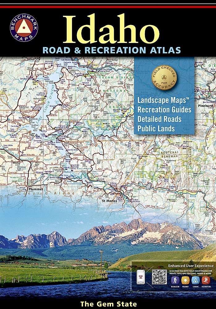
Idaho's boundless recreational opportunities and varied scenery is skillfully captured in Benchmark's Idaho Road and Recreation Atlas. Landscape Maps™ show the full range of topography: from the forest stands of the panhandle, the mountainous backlands of central Idaho, to the plains and prairies in the south. The Recreation Guide features complete fishing information, hunting units and listings of campgrounds and RV parks. Map Scale = 1:250,000 Benchmark Maps recently released its Idaho Road & Recreation Atlas, which may render the DeLorme Atlas and Gazetteer obsolete. That's not a cheap shot against DeLorme's atlas. It has its flaws, but for years it's been a valuable resource for Idahoans. But Benchmark's atlas seems to have cured all of DeLorme's flaws and created a detailed, easy to use, comprehensive atlas for recreationists. Benchmark spend months in Idaho gathering information and driving 12,000 miles around the state to double check its accuracy. It has three obvious improvements over the DeLorme atlas: the maps on each page overlap so you don't get lost going from page to page, the maps have contour shading so you see mountains, valleys and ridges rather than having to interpret them through topographic lines, and the atlas overlaps border areas with neighboring states. There are many other improvements. (refers to 1st edition). -- --Roger Phillips. The (Boise) Idaho Statesman Founded in 1915 as the Cartographic Group, the first division of National Geographic, National Geographic Maps has been responsible for illustrating the world around us through the art and science of mapmaking.Today, National Geographic Maps continues this mission by creating the world's best wall maps, recreation maps, atlases, and globes which inspire people to care about and explore their world. Atlases: Every Benchmark atlas is specially designed for enthusiasts of hunting, fishing, camping, boating, hiking, and other outdoor activities. All atlases have Benchmarks exclusive Landscape Maps with large easy-to-read and page overlap, and a useful GPS grid. The categorized Recreation Guide makes planning your next adventure a breeze. The Recreation Maps have public land ownership shown as color tints, and most titles have hunting unit names and boundaries Recreational Maps: Benchmarks Recreation Maps were created for outdoor lovers who want the high quality recreation information in our atlases but with the convenience of a traditional folding map. Complete public lands detail and hunting unit boundaries are shown as well as categorized recreation listings.