La Sal Utah Topo Map Index: 7.5' Topographic Quadrangle Atlas and Gazetteer - Small Print
$19.99
by YellowMaps
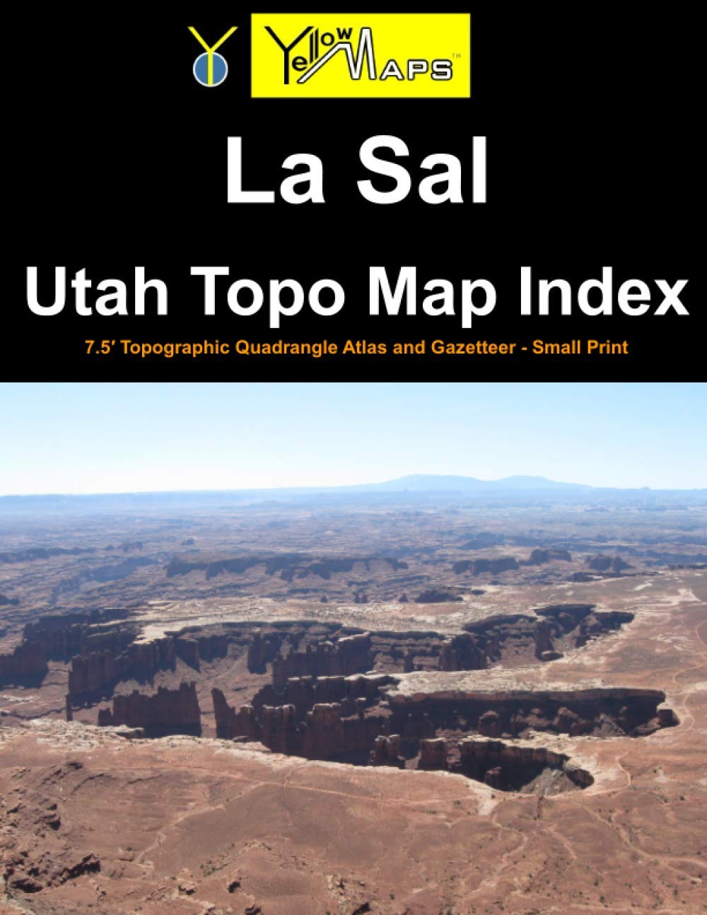
One of a series of 46 atlases covering the entire state of Utah, the La Sal Utah Topo Map Index contains 32 historical USGS topographic 7.5' quadrangle maps of the La Sal, Utah, area, named after the 30'x60' USGS topo map of the area carrying the same name. This area is a box sandwiched between 38°N and 38.5°N latitude, and between 110°W and 109°W longitude. Printed at reduced size (book format is letter-size: 8.5x11 inches) in small print . The original maps were produced by the U.S. Geological Survey (USGS). The La Sal atlas serves as an index to finding and previewing 7.5 minute maps, along with QR codes and website URLs for downloading or ordering full-size print copies of said 7.5' maps at 1:24,000 scale. This atlas also includes a gazetteer of geographic features, and is illustrated by publisher YellowMaps with landscape photographs of the local area. List of 7.5 minute quad maps included in this book: Upheaval Dome - Musselman Arch - Shafer Basin - Trough Springs Canyon - Kane Springs - Mount Tukuhnikivatz - Mount Peale - Buckeye Reservoir - Turks Head - Monument Basin - Lockhart Basin - Eightmile Rock - La Sal Junction - La Sal West - La Sal East - Wray Mesa - Spanish Bottom - The Loop - North Six-Shooter Peak - Harts Point North - Hatch Rock - Sandstone Draw - Lisbon Valley - Lisbon Gap - Cross Canyon - Druid Arch - South Six-Shooter Peak - Harts Point South - Photograph Gap - Church Rock - Sop Canyon - Summit Point