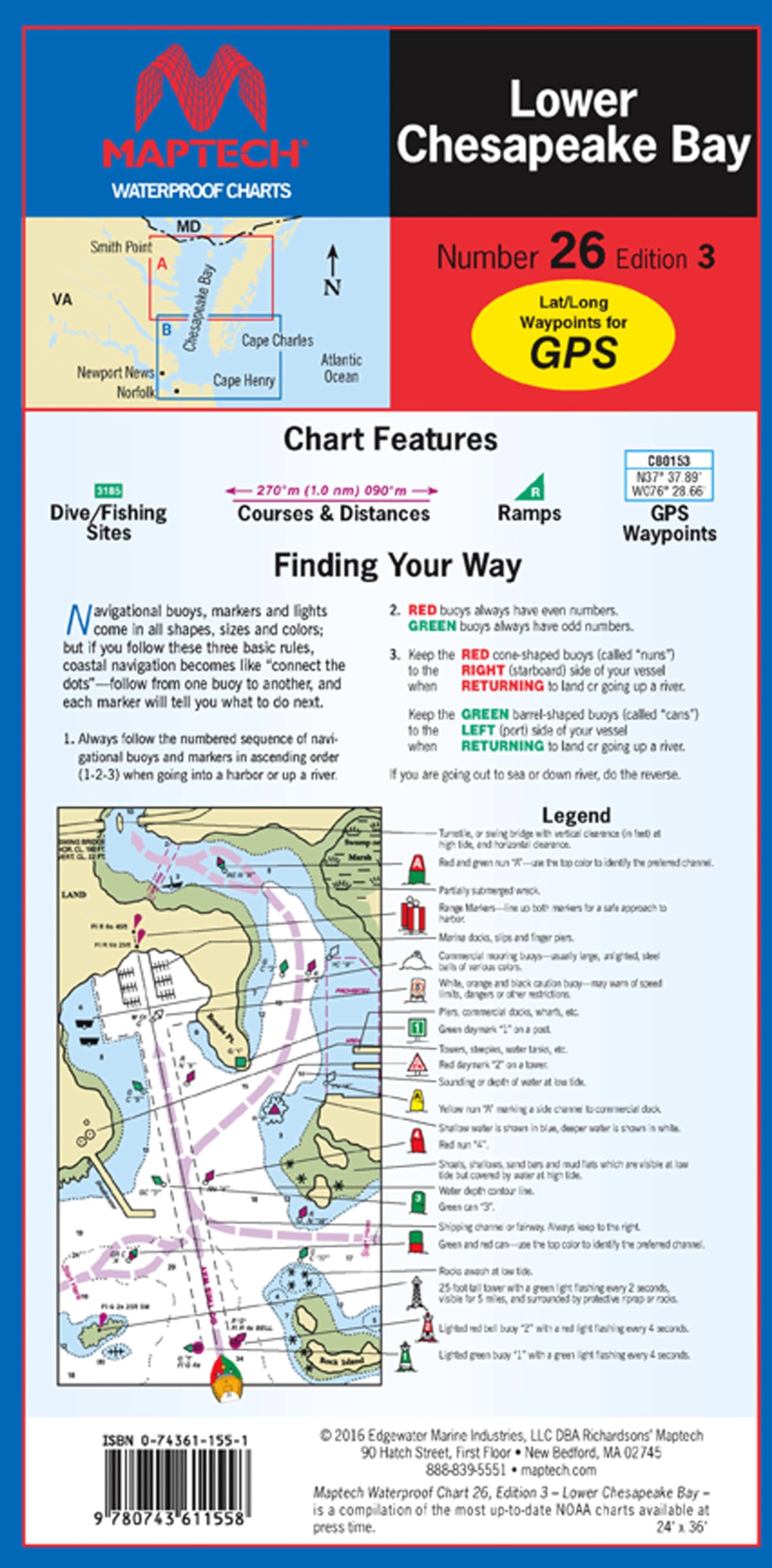
Waterproof: Constructed with high-quality, waterproof synthetic paper, ensuring durability and resistance to water damage User-Friendly Design: Flip-fold format measures 24" x 36" when open and 6" x 12" when folded, allowing for easy handling and storage. Crisp Imagery: Chart images are crisp and easy to read, ensuring clear visibility of navigational information. Smith Point to Chesapeake Approaches. Featuring waypoints for major buoys, courses and distances, and ramp locations and information. Great planning chart. 24" x 36", scale 1:107,000 with insets.