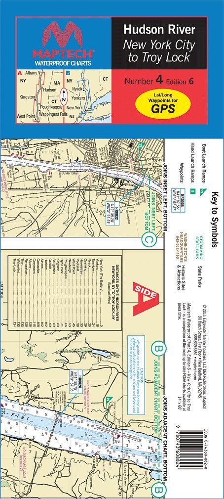
Maptech WPC004, MAPWPC004 Liberty Island to the Troy Lock. The best chart for the Hudson! Featuring ramp locations and information and historic sites. 14" x 60", scale 1:53,333. ISBN: 0-7436-0882-8
To calculate the overall star rating and percentage breakdown by star, we don’t use a simple average. Instead, our system considers things like how recent a review is and if the reviewer bought the item on Amazon. It also analyzes reviews to verify trustworthiness.