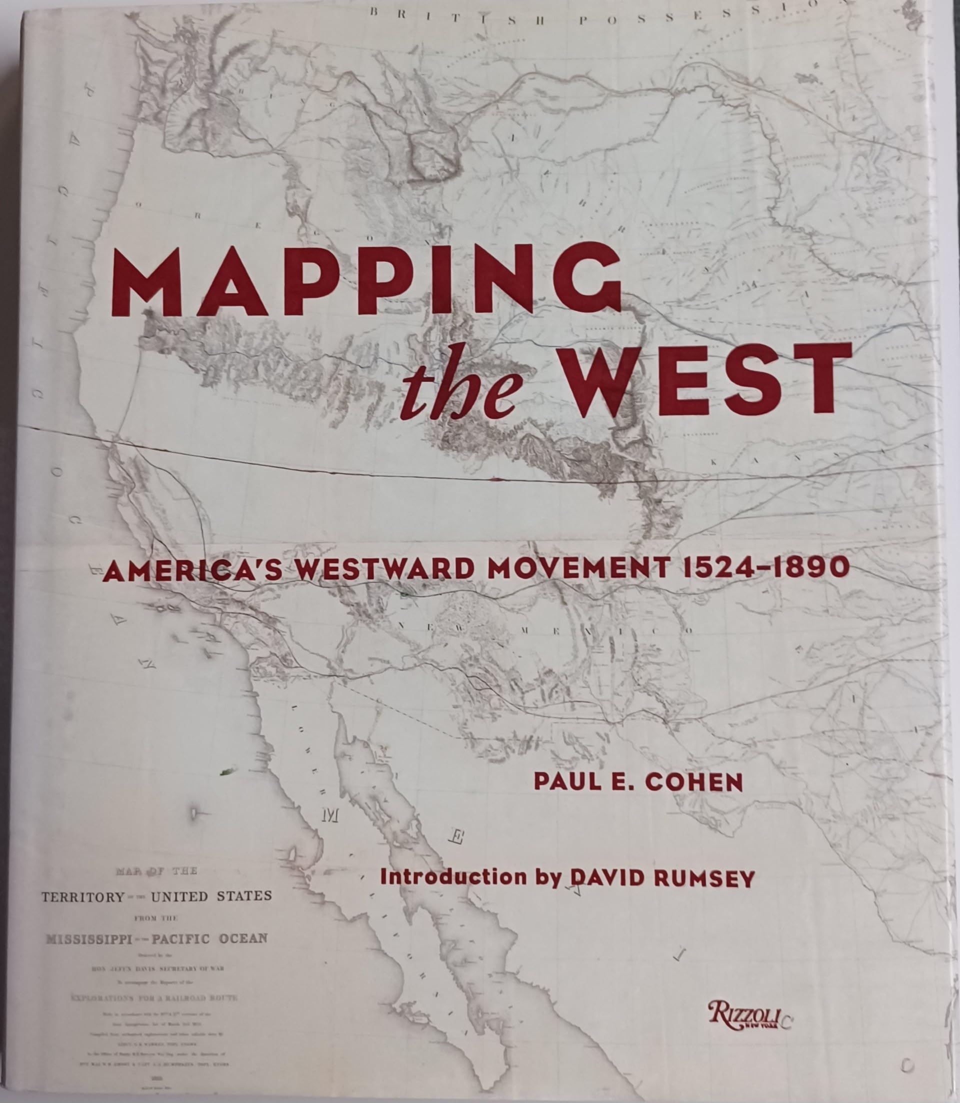
Mapping the West: America's Westward Movement 1524-1890, a stunning collection of the finest maps ever made of the American West, chronicles the cartographic history of the western United States from 1524 to 1890. The book begins with a look at the European powers' (Spain, France, England) efforts to comprehend their far-flung colonies, then directs our attention toward U.S. Government and military maps made by such notables as Lewis and Clark, Robert E. Lee, and C. T. Beauregard. Also included are maps by American Indians, maps that highlight the epicenter of the California gold rush, and maps that delineate the proposed and final courses of the transcontinental railroad, to mention only a few of the areas herein discussed. The sixty-five maps shown come from collections throughout the world. Leading private collectors of maps of the American West, whose holdings have never been published, have put their collections at the disposal of this study. Many maps are here shown for the first time, most for the first time in color. Filled with fascinating historical anecdote and detailed scholarship, Mapping the West is a work that will be highly prized by map lovers and history buffs alike. "Maps are among our most basic documents, and when we examine them, we are at the roots of history. In Mapping the West we can locate the campsites of the Lewis and Clark expedition; see the maps that enticed emigrants to abandon their lives in Europe to establish themselves in California; and look at military maps used during the Mexican War. Large and small occurrences make their way onto maps, bringing to life the events that have created the American mythology. . . . In Mapping the West , salient examples are brought together to tell the impressive story of the mapping of this vast, harardous, awesome, and hitherto obscure land."--David Rumsey, from the introduction "This breathtakingly sumptuous and elegant volume reminds us of a time when the entire American continent still seemed strange--and it reminds us of the irresistible pull that conquered that strangeness. These riveting artifacts of an age of discovery bear witness to a time when much of the earth's surface was terra incognita, when human beings still held their breath before the richness, mystery and impenetrable strangeness of the world."--Ric Burns -- Review Paul E. Cohen is coauthor of Manhattan in Maps . He is a dealer in antique maps and rare books with the firm of Richard B. Arkway, Inc. in New York. David Rumsey is president of Cartographic Associates, a digital publishing firm based in San Francisco. He created the award-winning Website www.davidrumsey.com, which has thousands of images of historical maps from his private map collection, one of the largest in the United States. Used Book in Good Condition