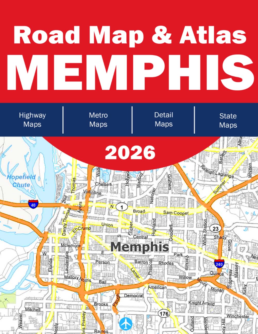
Memphis Road Map 2026 Complete Street Atlas & Navigation Guide for Memphis, Tennessee Navigate Memphis with confidence using the Memphis Road Map 2026 —your comprehensive, easy-to-use street atlas designed for drivers, travelers, and professionals. This detailed map book provides full coverage of Memphis and surrounding areas, including major highways, local streets, suburban zones, and key landmarks. What’s Inside: Complete Memphis Coverage – Includes downtown Memphis, residential neighborhoods, and surrounding regions such as Bartlett, Arlington, Lakeland, and Millington - Detailed Street-Level Maps – Clearly labeled roads, intersections, and local routes for precise navigation - Grid Index System – Quickly find streets and locations across multiple pages with an intuitive reference system - Highway & Major Route Highlights – Easy identification of interstates and primary travel corridors - Natural Landmarks & Geography – Includes rivers, parks, lakes, and boundaries such as the Mississippi River and surrounding county lines Perfect For: Daily commuters and local residents - Delivery drivers, taxi & rideshare professionals - Travelers and road trip planners - Emergency services and field professionals - Anyone who needs a reliable offline navigation solution Why Choose This Map? Unlike digital maps, the Memphis Road Map 2026 offers instant, distraction-free navigation —no signal, battery, or loading time required. Its large-format layout and high readability make it ideal for quick reference on the road. Whether you’re navigating city streets or exploring the greater Memphis area, this atlas ensures you always know where you are—and where you’re going.