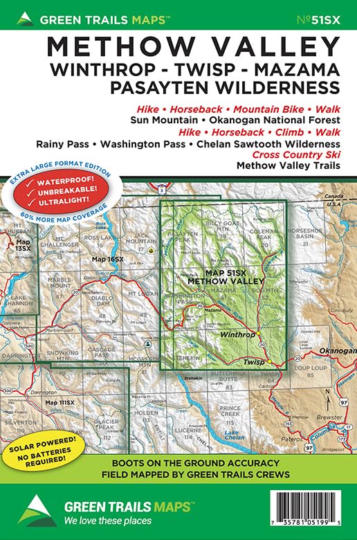
Blessed with ample sunshine, sparkling rivers, golden hills, and sweeping views of serrated peaks piercing puffy white clouds, the Methow Valley is Washington’s Big Sky Country. Surrounded by some of the most stunning alpine scenery in the North Cascades and containing an extensive community trail system and plenty of access to wilderness trails the area is an outdoor mecca for hikers, runners, equestrians, bikers, and skiers. This expansive map includes coverage from Lake Chelan and the Sawtooth Ridge to the western and central portions of the massive 500,000-plus acre Pasayten Wilderness along the Canadian border. Map also highlights the Twisp River Valley, Chewuch River Valley, Washington and Rainy Passes along the North Cascades Highway, Harts Pass region, the Pacific Crest Trail from Bridge Creek to British Columbia, and the Pacific Northwest Trail from Haig Mountain to Frosty Lake. Map 51SX also includes a 1:30,000 inset of the Sun Mountain Trail system and a detailed 1:55,000 close-up of the Methow Valley trail system. Reprinted 2021 Based in Seattle since its founding in 1973 by Walt Locke as the first publisher of high-quality recreational topographical maps to Washington State, Green Trails Maps publishes more than 150 titles for the most spectacular mountain, beach and desert areas North America. Green Trails Maps show the most current trail, road, and access information to national forests, national parks, state and local parks and other public lands, and are favored by hikers, climbers, cross-country skiers, horseback riders, hunters, anglers, mountain biker riders and search and rescue groups and recommended by the most venerable and respected climbing guides.