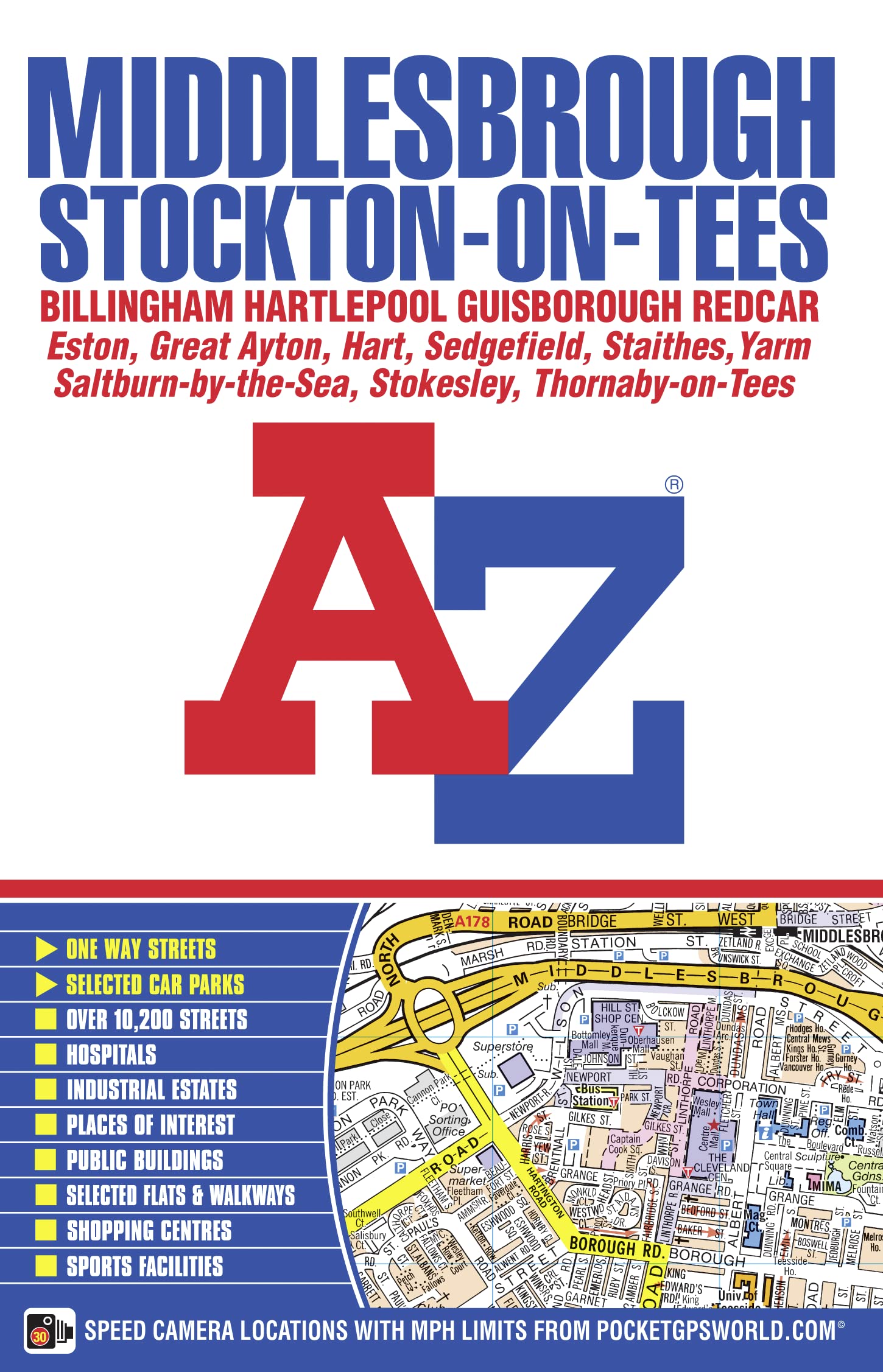
This AZ map of Middlesbrough, Stockton-on-Tees, Billingham, Hartlepool, Guisborough and Redcar is a full colour, paperback street atlas featuring 166 pages of mapping which extends to cover:•Hart Station•Seaton Carew•Marske-by-the-Sea•Saltburn-by-the-Sea•Brotton•Staithes•Moorsholm•Great Ayton•Stokesley•Kirklevington•Durham Tees Valley Airport•Long Newton•Thornaby-on-Tees•Stillington (inset)•Wynyard Village•Elwick•There is also separate coverage of Sedgefield.Postcode districts, one-way streets, safety camera locations with maximum speed limits and the North York Moors National Park boundary are featured on the mapping.Also included is a double-page postcode map of the atlas area.The index section lists streets, selected flats, walkways and places of interest, place, area and railway stations. There is a separate list of hospitals and hospices covered by this atlas. Started in 1936 by Mrs Phyllis Pearsall MBE, Geographers' A-Z Map Company Ltd is the leading street map publisher in the UK, producing more than 200 paper mapping publications, including the much-loved London A-Z, Street Atlases, Visitors Guides, Great Britain Road Atlases, and a new range covering 30 of the country's most popular walking destinations – The Adventure Atlas.