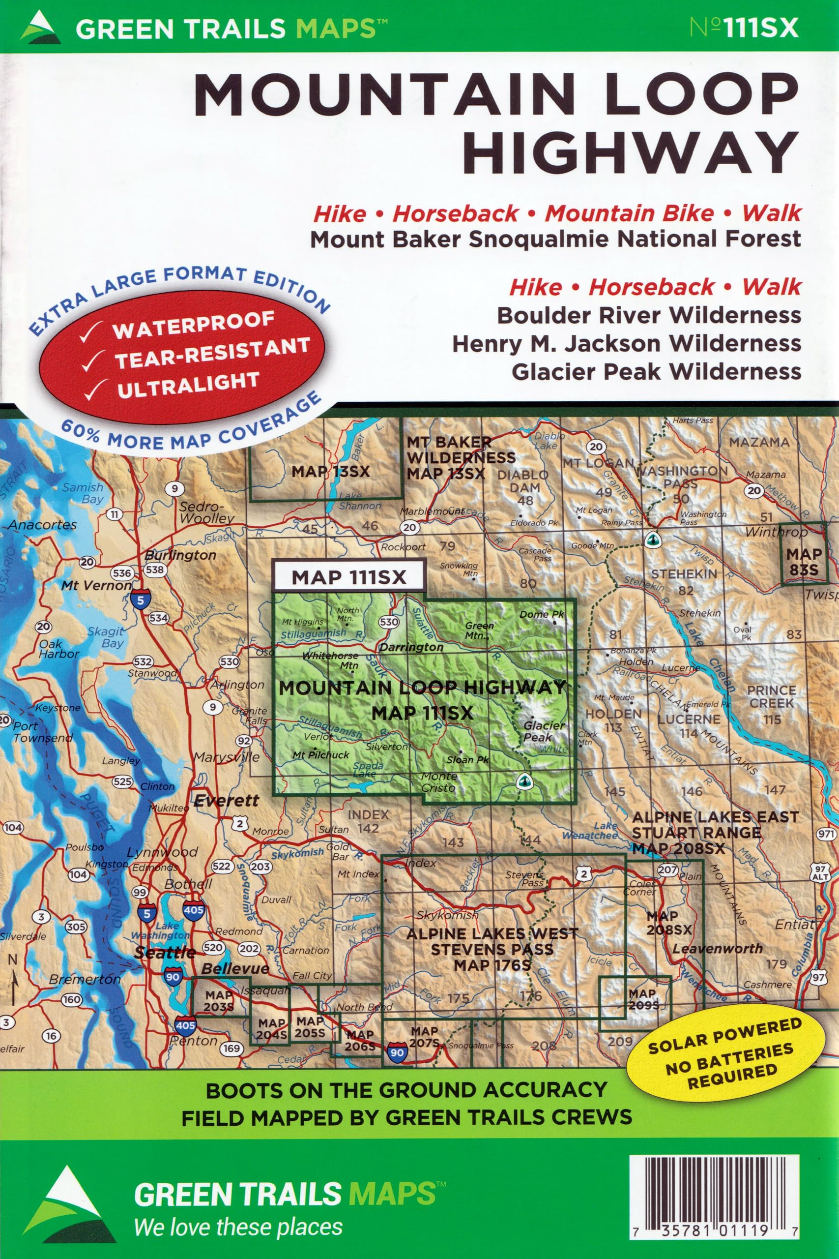
Some of Western Washington’s most popular and spectacular trails can be found along this scenic byway just east of Everett. Map 111SX encompasses all of the region’s trails; including such classics as Lake Twentytwo, Three Fingers Lookout, Mount Pilchuck, Gothic Basin and Goat Lake along the 53-mile long Mountain Loop Highway. This expansive map also covers the spectacular Suiattle River Valley’s and North Fork Sauk River Valley’s trails leading into the expansive 530,000-acre Glacier Peak Wilderness. Map coverage also includes the Pacific Crest Trail from Cady Pass to Miners Ridge. You can plan adventures into the Henry M Jackson Wilderness too including to Blue Lake, and Twin Lakes, Silver Lake, and Glacier Basin near the former mining now ghost town of Monte Cristo. Original Edition 2016; Updated Edition 2019 Based in Seattle since its founding in 1973 by Walt Locke as the first publisher of high-quality recreational topographical maps to Washington State, Green Trails Maps publishes more than 150 titles for the most spectacular mountain, beach and desert areas North America. Green Trails Maps show the most current trail, road, and access information to national forests, national parks, state and local parks and other public lands, and are favored by hikers, climbers, cross-country skiers, horseback riders, hunters, anglers, mountain biker riders and search and rescue groups and recommended by the most venerable and respected climbing guides.